Alhos Vedros night lights from space
Night Light of Alhos Vedros (District of Setúbal) from space (Portugal) Src. Average luminocity for 10x10km area is 76.7386% and for 50x50km: 42.6373%.
Analysis of Alhos Vedros night lights 2016
Square area 10x10 km:
 18.18%
90-99
22.4%80-89
10.06%70-79
12.18%60-69
17.53%50-59
5.19%40-49
4.06%30-39
8.6%20-29
1.79%10-19
0%0-9
0%Square area 50x50 km:
13.06%90-99
10.29%80-89
3.77%70-79
4.74%60-69
5.13%50-59
4.31%40-49
3.28%30-39
4.99%20-29
8.62%10-19
10.01%0-9
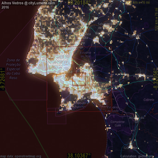
31.81%Clear (daylight) street map image can be seen on geolist.org.
Map coordinates:
39° 12' 6.6" North, 9° 43' 36.5" West
38° 39' 17.5" North, 9° 1' 25.2" West
38° 6' 13.2" North, 8° 19' 14" West
Some cities around Alhos Vedros sort by population:
• Amora
8.5 km =5.3 mi,  250°
250°
• Barreiro
4.3 km =2.7 mi,  282°
282°
• Arrentela
7.5 km =4.7 mi,  243°
243°
• Montijo
7.2 km =4.5 mi,  36°
36°
• Lavradio
2.9 km =1.8 mi,  300°
300°
• Moita
2.9 km =1.8 mi,  98°
98°
• Aldeia de Paio Pires
6.7 km =4.2 mi,  230°
230°
• Santo António da Charneca
3.3 km =2.1 mi,  190°
190°
2271970 (p: 13,384)
Sources (retrieved 2019-11-25):
» Earth at Night: Flat Maps 2012, 2016