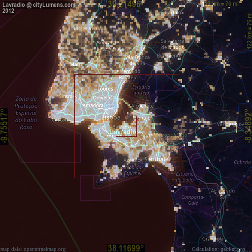
Lavradio night lights from space
Night Light of Lavradio (District of Setúbal) from space (Portugal) Src. Average luminocity for 10x10km area is 66.487% and for 50x50km: 45.2979%.
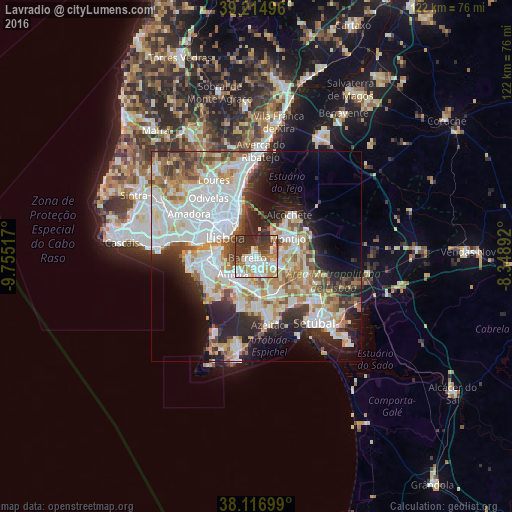
Analysis of Lavradio night lights 2016
Square area 10x10 km:
 19.48%
90-99
16.72%80-89
5.36%70-79
6.82%60-69
9.9%50-59
4.06%40-49
6.17%30-39
21.1%20-29
10.39%10-19
0%0-9
0%Square area 50x50 km:
13.93%90-99
11.06%80-89
4.13%70-79
4.99%60-69
5.6%50-59
4.58%40-49
3.59%30-39
5.15%20-29
8.78%10-19
9.46%0-9
28.72%Clear (daylight) street map image can be seen on geolist.org.
Map coordinates:
39° 12' 53.9" North, 9° 45' 18.6" West
38° 40' 5.1" North, 9° 3' 7.3" West
38° 7' 1.2" North, 8° 20' 56.1" West
Some cities around Lavradio sort by population:
• Amora
7 km =4.3 mi,  232°
232°
• Barreiro
1.9 km =1.2 mi,  252°
252°
• Arrentela
6.4 km =4 mi,  221°
221°
• Montijo
8 km =5 mi,  57°
57°
• Moita
5.7 km =3.5 mi,  109°
109°
• Alhos Vedros
2.9 km =1.8 mi,  120°
120°
• Aldeia de Paio Pires
6.3 km =3.9 mi,  205°
205°
• Santo António da Charneca
5.1 km =3.2 mi,  158°
158°
2267112 (p: 21,877)
Sources (retrieved 2019-11-25):
» Earth at Night: Flat Maps 2012, 2016