Monsanto night lights from space
Night Light of Monsanto (Santarém) from space (Portugal) Src. Average luminocity for 10x10km area is 22.7738% and for 50x50km: 24.6227%.
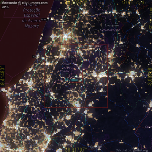
Analysis of Monsanto night lights 2016
Square area 10x10 km:
 1.02%
1.02%90-99
4.08%80-89
2.21%70-79
1.87%60-69
4.42%50-59
3.74%40-49
2.55%30-39
1.87%20-29
3.57%10-19
34.01%0-9
40.65%Square area 50x50 km:
1.49%90-99
2.92%80-89
2.57%70-79
2.78%60-69
3.37%50-59
4.04%40-49
4.02%30-39
4.67%20-29
11.06%10-19
28.17%0-9
34.91%Clear (daylight) street map image can be seen on geolist.org.
Map coordinates:
40° 0' 9.9" North, 9° 24' 53.7" West
39° 27' 43.3" North, 8° 42' 42.5" West
38° 55' 1.5" North, 8° 0' 31.2" West
Some cities around Monsanto sort by population:
• Entroncamento
21 km =13 mi,  88°
88°
• Torres Novas
14.5 km =9 mi,  83°
83°
• Ourém
22.5 km =14 mi,  27°
27°
• Fátima
18.4 km =11.4 mi,  16°
16°
• Aljubarrota
22 km =13.7 mi,  302°
302°
• Porto de Mós
18 km =11.2 mi,  329°
329°
• Riachos
17.1 km =10.6 mi,  96°
96°
• Alcanede
10.8 km =6.7 mi,  241°
241°
2266249 (p: 50,000)
Sources (retrieved 2019-11-25):
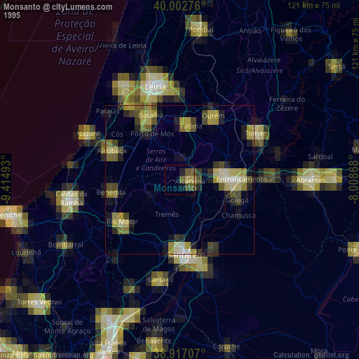
» NASA, Earths city lights 1995
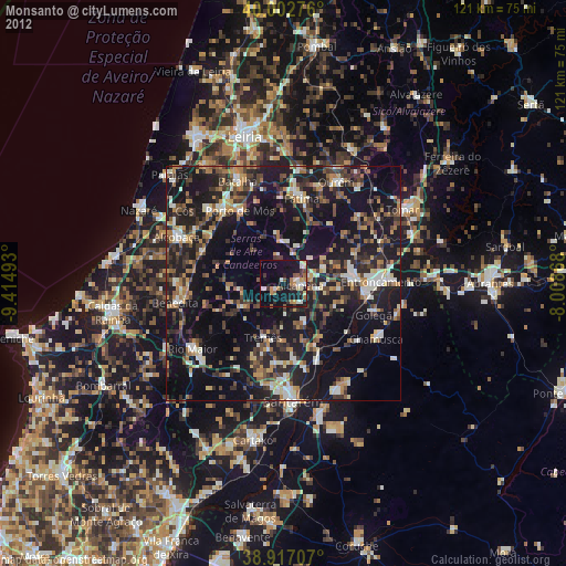
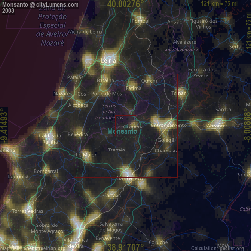
» NASA city lights 2003
» Earth at Night: Flat Maps 2012, 2016