Aljubarrota night lights from space
Night Light of Aljubarrota (Leiria) from space (Portugal) Src. Average luminocity for 10x10km area is 38.7419% and for 50x50km: 24.9899%.
Analysis of Aljubarrota night lights 2016
Square area 10x10 km:
 3.08%
3.08%90-99
4.38%80-89
5.52%70-79
4.71%60-69
6.33%50-59
8.44%40-49
2.92%30-39
10.23%20-29
20.29%10-19
31.98%0-9
2.11%Square area 50x50 km:
1.84%90-99
3.08%80-89
2.12%70-79
2.66%60-69
3.87%50-59
5.09%40-49
4.31%30-39
5.66%20-29
10.93%10-19
24.6%0-9
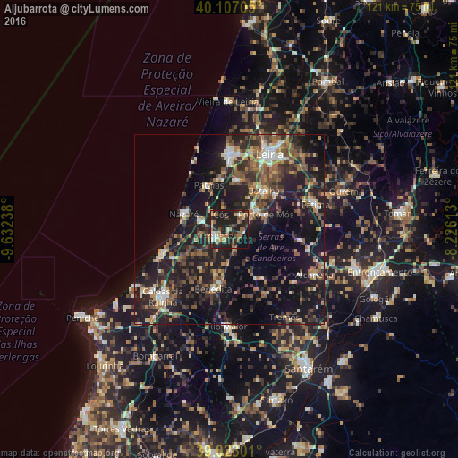
35.85%Clear (daylight) street map image can be seen on geolist.org.
Map coordinates:
40° 6' 25.4" North, 9° 37' 56.6" West
39° 34' 1.7" North, 8° 55' 45.3" West
39° 1' 22.8" North, 8° 13' 34.1" West
Some cities around Aljubarrota sort by population:
• Alcobaça
4.5 km =2.8 mi,  248°
248°
• Maceira
13.8 km =8.6 mi,  12°
12°
• Nazaré
12.6 km =7.8 mi,  288°
288°
• Benedita
16.2 km =10.1 mi,  192°
192°
• Batalha
13.7 km =8.5 mi,  40°
40°
• Porto de Mós
10.3 km =6.4 mi,  67°
67°
• Pataias
12.8 km =8 mi,  333°
333°
• Alcanede
19.3 km =12 mi,  151°
151°
2271966 (p: 6,146)
Sources (retrieved 2019-11-25):
» Earth at Night: Flat Maps 2012, 2016