Camarate night lights from space
Night Light of Camarate (Lisbon) from space (Portugal) Src. Average luminocity for 10x10km area is 89.9048% and for 50x50km: 53.0599%.
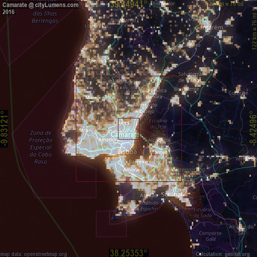
Analysis of Camarate night lights 2016
Square area 10x10 km:
 57.31%
90-99
19.22%80-89
2.38%70-79
5.44%60-69
4.08%50-59
3.91%40-49
2.89%30-39
4.25%20-29
0.51%10-19
0%0-9
0%Square area 50x50 km:
15.08%90-99
12.39%80-89
5.11%70-79
5.14%60-69
7.61%50-59
6.43%40-49
6.02%30-39
7.56%20-29
10.1%10-19
8.86%0-9
15.71%Clear (daylight) street map image can be seen on geolist.org.
Map coordinates:
39° 20' 57.9" North, 9° 49' 52.4" West
38° 48' 12.9" North, 9° 7' 41.1" West
38° 15' 12.7" North, 8° 25' 29.9" West
Some cities around Camarate sort by population:
• São João da Talha
3.5 km =2.2 mi,  50°
50°
• Sacavém
2.2 km =1.4 mi,  126°
126°
• Póvoa de Santo Adrião
3.4 km =2.1 mi,  263°
263°
• Unhos
1.9 km =1.2 mi,  21°
21°
• Charneca
2.6 km =1.6 mi,  210°
210°
• Bobadela
2.5 km =1.6 mi,  79°
79°
• Apelação
1.2 km =0.7 mi,  342°
342°
• Prior Velho
1.4 km =0.9 mi,  155°
155°
2270377 (p: 20,177)
Sources (retrieved 2019-11-25):
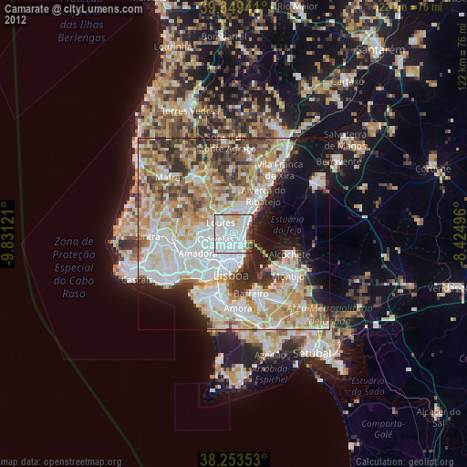
» Earth at Night: Flat Maps 2012, 2016