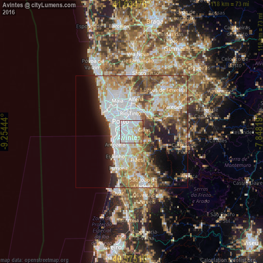
Avintes night lights from space
Night Light of Avintes (Porto) from space (Portugal) Src. Average luminocity for 10x10km area is 92.5584% and for 50x50km: 49.5443%.
Analysis of Avintes night lights 2016
Square area 10x10 km:
 52.6%
52.6%90-99
21.59%80-89
8.77%70-79
6.82%60-69
8.6%50-59
1.46%40-49
0.16%30-39
0%20-29
0%10-19
0%0-9
0%Square area 50x50 km:
14%90-99
10.46%80-89
5.46%70-79
7.83%60-69
8.18%50-59
5.39%40-49
5.07%30-39
4.96%20-29
5.8%10-19
7.07%0-9
25.77%Clear (daylight) street map image can be seen on geolist.org.
Map coordinates:
41° 38' 5.1" North, 9° 15' 16" West
41° 6' 25.6" North, 8° 33' 4.7" West
40° 34' 30.6" North, 7° 50' 53.5" West
Some cities around Avintes sort by population:
• Gondomar
4.5 km =2.8 mi,  21°
21°
• Oliveira do Douro
3.4 km =2.1 mi,  304°
304°
• Vilar de Andorinho
2.9 km =1.8 mi,  267°
267°
• Valbom
2.6 km =1.6 mi,  339°
339°
• Canelas
4.9 km =3 mi,  237°
237°
• Jovim
2.7 km =1.7 mi,  80°
80°
• Foz do Sousa
4.3 km =2.7 mi,  105°
105°
• Perozinho
5.5 km =3.4 mi,  211°
211°
2742565 (p: 11,577)
Sources (retrieved 2019-11-25):
» Earth at Night: Flat Maps 2012, 2016