Castelo Branco night lights from space
Night Light of Castelo Branco from space (Portugal) Src. Average luminocity for 10x10km area is 32.4014% and for 50x50km: 4.1428%.
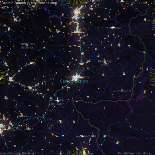
Analysis of Castelo Branco night lights 2016
Square area 10x10 km:
 7.99%
7.99%90-99
7.99%80-89
3.57%70-79
1.53%60-69
2.38%50-59
1.87%40-49
2.55%30-39
1.19%20-29
4.76%10-19
43.88%0-9
22.28%Square area 50x50 km:
0.37%90-99
0.83%80-89
0.57%70-79
0.3%60-69
0.46%50-59
0.32%40-49
0.53%30-39
0.59%20-29
0.94%10-19
2.28%0-9
92.79%Clear (daylight) street map image can be seen on geolist.org.
Map coordinates:
40° 21' 36.3" North, 8° 11' 38.4" West
39° 49' 19.9" North, 7° 29' 27.1" West
39° 16' 48.2" North, 6° 47' 15.9" West
Some cities around Castelo Branco sort by population:
• Covilhã
51 km =31.7 mi,  358°
358°
• Portalegre
59 km =36.7 mi,  175°
175°
• Fundão
35.4 km =22 mi, 358°
• Nisa
36.7 km =22.8 mi,  201°
201°
• Valencia de Alcántara, ES
50.3 km =31.3 mi,  155°
155°
• Oleiros
37.7 km =23.4 mi,  286°
286°
• Sertã
51.7 km =32.1 mi,  267°
267°
• Alcains
10.9 km =6.8 mi,  15°
15°
2269514 (p: 33,479)
Sources (retrieved 2019-11-25):
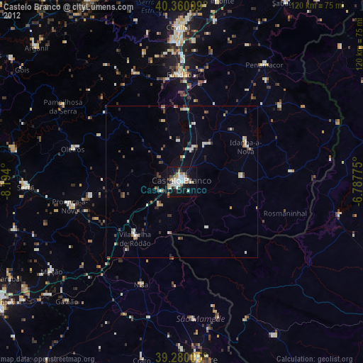
» Earth at Night: Flat Maps 2012, 2016