Nisa night lights from space
Night Light of Nisa (Portalegre) from space (Portugal) Src. Average luminocity for 10x10km area is 3.5179% and for 50x50km: 2.9673%.
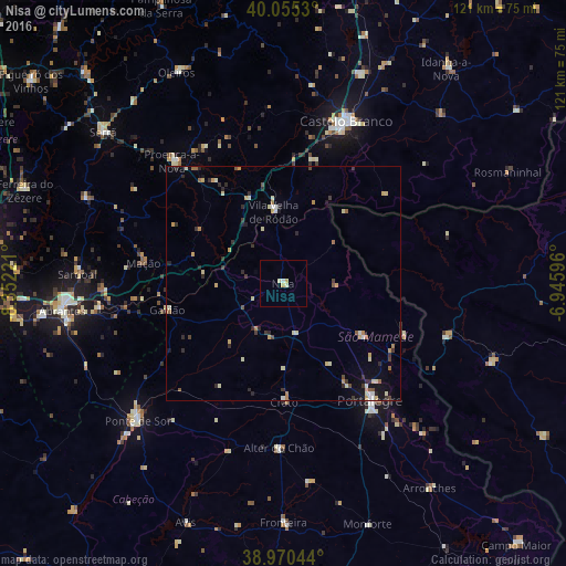
Analysis of Nisa night lights 2016
Square area 10x10 km:
 0.32%
0.32%90-99
1.14%80-89
1.14%70-79
0.65%60-69
0%50-59
0%40-49
0%30-39
0%20-29
0%10-19
0%0-9
96.75%Square area 50x50 km:
0.13%90-99
0.48%80-89
0.6%70-79
0.46%60-69
0.3%50-59
0.27%40-49
0.23%30-39
0.58%20-29
0.86%10-19
0.83%0-9
95.26%Clear (daylight) street map image can be seen on geolist.org.
Map coordinates:
40° 3' 19.1" North, 8° 21' 8" West
39° 30' 54" North, 7° 38' 56.7" West
38° 58' 13.6" North, 6° 56' 45.5" West
Some cities around Nisa sort by population:
• Castelo Branco
36.7 km =22.8 mi,  21°
21°
• Portalegre
30.9 km =19.2 mi,  142°
142°
• Abrantes
47.6 km =29.6 mi,  263°
263°
• Ponte de Sôr
42.8 km =26.6 mi,  226°
226°
• Vale da Amoreira
49.7 km =30.9 mi,  184°
184°
• Valencia de Alcántara, ES
36.6 km =22.7 mi,  108°
108°
• Sertã
49.8 km =30.9 mi,  309°
309°
• Alcains
47.6 km =29.6 mi, 20°
2265525 (p: 7,450)
Sources (retrieved 2019-11-25):
» Earth at Night: Flat Maps 2012, 2016