Caldelas night lights from space
Night Light of Caldelas (Braga) from space (Portugal) Src. Average luminocity for 10x10km area is 45.4805% and for 50x50km: 28.4984%.
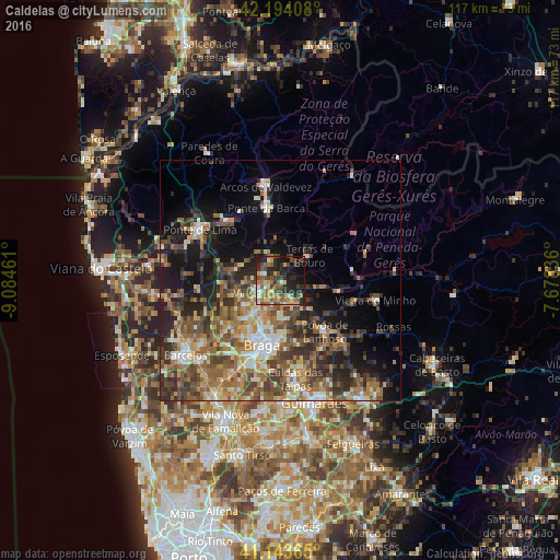
Analysis of Caldelas night lights 2016
Square area 10x10 km:
 1.79%
1.79%90-99
7.14%80-89
6.01%70-79
7.14%60-69
8.93%50-59
11.2%40-49
11.04%30-39
5.68%20-29
20.78%10-19
17.37%0-9
2.92%Square area 50x50 km:
1.99%90-99
4.67%80-89
3.68%70-79
3.78%60-69
5.88%50-59
6.29%40-49
6.28%30-39
5%20-29
7.93%10-19
11.05%0-9
43.43%Clear (daylight) street map image can be seen on geolist.org.
Map coordinates:
42° 11' 38.7" North, 9° 5' 4.6" West
41° 40' 15.6" North, 8° 22' 53.3" West
41° 8' 37.1" North, 7° 40' 42.1" West
Some cities around Caldelas sort by population:
• Braga
13.8 km =8.6 mi,  193°
193°
• Semelhe
14.6 km =9.1 mi,  207°
207°
• Real
13.5 km =8.4 mi,  202°
202°
• Gondizalves
15.7 km =9.8 mi, 203°
• Sande
3.6 km =2.2 mi,  345°
345°
• Arcos
16.9 km =10.5 mi, 191°
• Merelim
11.8 km =7.3 mi,  216°
216°
• Póvoa de Lanhoso
14 km =8.7 mi,  138°
138°
2741728 (p: 5,724)
Sources (retrieved 2019-11-25):
» Earth at Night: Flat Maps 2012, 2016