Braga night lights from space
Night Light of Braga from space (Portugal) Src. Average luminocity for 10x10km area is 82.8112% and for 50x50km: 47.1131%.
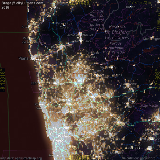
Analysis of Braga night lights 2016
Square area 10x10 km:
 27.04%
90-99
27.04%80-89
6.29%70-79
16.67%60-69
6.63%50-59
6.29%40-49
7.82%30-39
2.21%20-29
0%10-19
0%0-9
0%Square area 50x50 km:
3.64%90-99
8.54%80-89
6.87%70-79
7.6%60-69
11.31%50-59
10.54%40-49
9.24%30-39
7.08%20-29
9.59%10-19
10.24%0-9
15.36%Clear (daylight) street map image can be seen on geolist.org.
Map coordinates:
42° 4' 27.8" North, 9° 7' 23.4" West
41° 33' 1.2" North, 8° 25' 12.2" West
41° 1' 19.1" North, 7° 43' 0.9" West
Some cities around Braga sort by population:
• Semelhe
3.6 km =2.2 mi,  277°
277°
• Real
2.1 km =1.3 mi,  294°
294°
• Gondizalves
3.1 km =1.9 mi,  251°
251°
• Arcos
3.2 km =2 mi,  182°
182°
• Aveleda
5.1 km =3.2 mi,  230°
230°
• Oliveira
9 km =5.6 mi,  207°
207°
• Caldas das Taipas
9.4 km =5.8 mi,  140°
140°
• Merelim
5.5 km =3.4 mi,  316°
316°
2742032 (p: 121,394)
Sources (retrieved 2019-11-25):
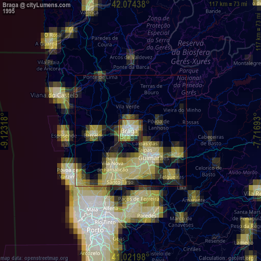
» NASA, Earths city lights 1995
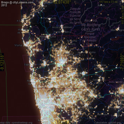
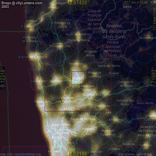
» NASA city lights 2003
» Earth at Night: Flat Maps 2012, 2016