Canelas night lights from space
Night Light of Canelas (Porto) from space (Portugal) Src. Average luminocity for 10x10km area is 98.2354% and for 50x50km: 45.0102%.
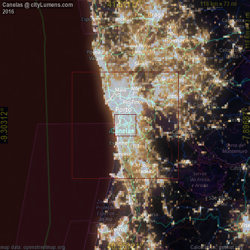
Analysis of Canelas night lights 2016
Square area 10x10 km:
 63.96%
90-99
30.19%80-89
4.55%70-79
0.32%60-69
0.32%50-59
0.32%40-49
0%30-39
0.32%20-29
0%10-19
0%0-9
0%Square area 50x50 km:
13.65%90-99
10.01%80-89
5.02%70-79
6.85%60-69
6.85%50-59
4.03%40-49
3.76%30-39
4.2%20-29
5.5%10-19
6.73%0-9
33.41%Clear (daylight) street map image can be seen on geolist.org.
Map coordinates:
41° 36' 40.2" North, 9° 18' 11.2" West
41° 4' 60" North, 8° 36' 0" West
40° 33' 4.4" North, 7° 53' 48.7" West
Some cities around Canelas sort by population:
• Vilar de Andorinho
2.7 km =1.7 mi,  24°
24°
• Vilar do Paraíso
1.9 km =1.2 mi,  291°
291°
• Arcozelo
3.6 km =2.2 mi,  228°
228°
• Azenha
2.2 km =1.4 mi,  249°
249°
• Gulpilhares
2.2 km =1.4 mi,  268°
268°
• Serzedo
3.8 km =2.4 mi,  200°
200°
• Perozinho
2.4 km =1.5 mi,  148°
148°
• Vila Nova da Telha
3.7 km =2.3 mi, 249°
2741566 (p: 14,247)
Sources (retrieved 2019-11-25):
» Earth at Night: Flat Maps 2012, 2016