Aradas night lights from space
Night Light of Aradas (Aveiro) from space (Portugal) Src. Average luminocity for 10x10km area is 72.6494% and for 50x50km: 25.8155%.
Analysis of Aradas night lights 2016
Square area 10x10 km:
100  18.67%
90-99 19.32%
80-89 7.95%
70-79 7.47%
60-69 12.01%
50-59 14.29%
40-49 7.47%
30-39 9.42%
20-29 3.41%
10-19 0%
0-9 0%
18.67%90-99
19.32%80-89
7.95%70-79
7.47%60-69
12.01%50-59
14.29%40-49
7.47%30-39
9.42%20-29
3.41%10-19
0%0-9
0%Square area 50x50 km:
100 1.77%
90-99 3.67%
80-89 2.82%
70-79 3.02%
60-69 4.68%
50-59 5.44%
40-49 4.06%
30-39 6.6%
20-29 12.61%
10-19 14.98%
0-9 40.36%
1.77%90-99
3.67%80-89
2.82%70-79
3.02%60-69
4.68%50-59
5.44%40-49
4.06%30-39
6.6%20-29
12.61%10-19
14.98%0-9
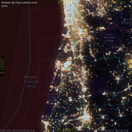
40.36%Clear (daylight) street map image can be seen on geolist.org.
Map coordinates:
41° 9' 8.6" North, 9° 20' 42.3" West
40° 37' 15" North, 8° 38' 31" West
40° 5' 6" North, 7° 56' 19.8" West
Some cities around Aradas sort by population:
• Aveiro
2.6 km =1.6 mi,  353°
353°
• Ílhavo
3.2 km =2 mi,  228°
228°
• Gafanha da Nazaré
6.3 km =3.9 mi,  285°
285°
• Esgueira
3.3 km =2.1 mi,  18°
18°
• Murtosa
12.9 km =8 mi,  1°
1°
• Albergaria-a-Velha
15.9 km =9.9 mi,  59°
59°
• Oiã
12.3 km =7.6 mi,  134°
134°
• Eixo
6.2 km =3.9 mi,  83°
83°
2742833 (p: 7,295)
Sources (retrieved 2019-11-25):
» Earth at Night: Flat Maps 2012, 2016