Murtosa night lights from space
Night Light of Murtosa (Aveiro) from space (Portugal) Src. Average luminocity for 10x10km area is 35.4123% and for 50x50km: 29.192%.
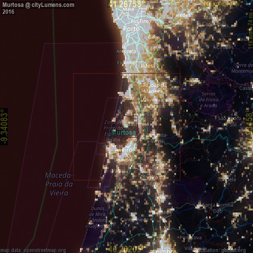
Analysis of Murtosa night lights 2016
Square area 10x10 km:
100  2.44%
2.44%
90-99 6.66%
80-89 3.57%
70-79 3.9%
60-69 2.92%
50-59 3.57%
40-49 5.19%
30-39 7.95%
20-29 30.19%
10-19 29.55%
0-9 4.06%
2.44%90-99
6.66%80-89
3.57%70-79
3.9%60-69
2.92%50-59
3.57%40-49
5.19%30-39
7.95%20-29
30.19%10-19
29.55%0-9
4.06%Square area 50x50 km:
100 2.54%
90-99 4.75%
80-89 3.46%
70-79 4.32%
60-69 6.47%
50-59 5.61%
40-49 4.23%
30-39 6.3%
20-29 11.12%
10-19 10.23%
0-9 40.96%
2.54%90-99
4.75%80-89
3.46%70-79
4.32%60-69
6.47%50-59
5.61%40-49
4.23%30-39
6.3%20-29
11.12%10-19
10.23%0-9
40.96%Clear (daylight) street map image can be seen on geolist.org.
Map coordinates:
41° 16' 3.3" North, 9° 20' 27" West
40° 44' 13" North, 8° 38' 15.7" West
40° 12' 7.4" North, 7° 56' 4.5" West
Some cities around Murtosa sort by population:
• Aveiro
10.3 km =6.4 mi,  183°
183°
• Gafanha da Nazaré
12.9 km =8 mi,  209°
209°
• Esgueira
9.8 km =6.1 mi, 175°
• Beduido
7.1 km =4.4 mi,  64°
64°
• Aradas
12.9 km =8 mi, 181°
• Válega
12 km =7.5 mi,  23°
23°
• Avanca
9.6 km =6 mi,  35°
35°
• Branca
13.5 km =8.4 mi,  75°
75°
2737234 (p: 8,282)
Sources (retrieved 2019-11-25):
» Earth at Night: Flat Maps 2012, 2016