Esgueira night lights from space
Night Light of Esgueira (Aveiro) from space (Portugal) Src. Average luminocity for 10x10km area is 66.8393% and for 50x50km: 27.1673%.
Analysis of Esgueira night lights 2016
Square area 10x10 km:
 18.34%
90-99
17.37%80-89
6.66%70-79
7.63%60-69
9.58%50-59
7.79%40-49
5.52%30-39
11.04%20-29
12.5%10-19
3.57%0-9
0%Square area 50x50 km:
1.99%90-99
3.91%80-89
2.93%70-79
3.46%60-69
5.46%50-59
5.69%40-49
4.14%30-39
6.79%20-29
12.17%10-19
14.05%0-9
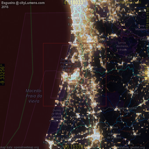
39.42%Clear (daylight) street map image can be seen on geolist.org.
Map coordinates:
41° 10' 49.2" North, 9° 19' 57.2" West
40° 38' 56.4" North, 8° 37' 45.9" West
40° 6' 48.2" North, 7° 55' 34.7" West
Some cities around Esgueira sort by population:
• Aveiro
1.5 km =0.9 mi,  248°
248°
• Ílhavo
6.3 km =3.9 mi,  213°
213°
• Gafanha da Nazaré
7.2 km =4.5 mi,  258°
258°
• Murtosa
9.8 km =6.1 mi,  355°
355°
• Beduido
14.1 km =8.8 mi,  24°
24°
• Albergaria-a-Velha
13.5 km =8.4 mi,  68°
68°
• Aradas
3.3 km =2.1 mi,  198°
198°
• Eixo
5.6 km =3.5 mi,  115°
115°
2739920 (p: 13,431)
Sources (retrieved 2019-11-25):
» Earth at Night: Flat Maps 2012, 2016