Az Zuwāydah night lights from space
Night Light of Az Zuwāydah (Gaza Strip) from space (Palestinian Territory) Src. Average luminocity for 10x10km area is 44.7378% and for 50x50km: 24.5509%.
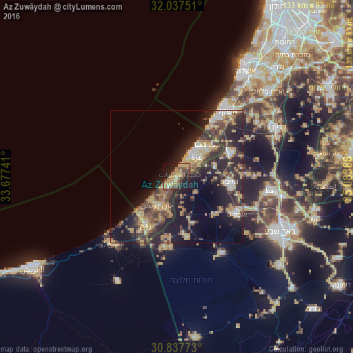
Analysis of Az Zuwāydah night lights 2016
Square area 10x10 km:
 1.05%
1.05%90-99
1.75%80-89
8.92%70-79
14.51%60-69
6.82%50-59
9.62%40-49
12.94%30-39
3.85%20-29
15.91%10-19
21.15%0-9
3.5%Square area 50x50 km:
1.93%90-99
2.47%80-89
3.97%70-79
5.19%60-69
2.79%50-59
2.91%40-49
5.8%30-39
5.26%20-29
10.52%10-19
14.09%0-9
45.08%Clear (daylight) street map image can be seen on geolist.org.
Map coordinates:
32° 2' 15" North, 33° 40' 38.7" East
31° 26' 22.3" North, 34° 22' 49.9" East
30° 50' 15.8" North, 35° 5' 1.2" East
Some cities around Az Zuwāydah sort by population:
• Gaza
10.7 km =6.6 mi,  49°
49°
• Dayr al Balaḩ
3.7 km =2.3 mi,  229°
229°
• An Nuşayrāt
1.5 km =0.9 mi, 48°
• Al Burayj
2.1 km =1.3 mi,  90°
90°
• Banī Suhaylā
12 km =7.5 mi,  206°
206°
• Al Qarārah
8.2 km =5.1 mi, 207°
• Al Mughrāqah
4.2 km =2.6 mi, 45°
• ‘Abasān al Jadīdah
11.4 km =7.1 mi,  196°
196°
6967990 (p: 16,688)
Sources (retrieved 2019-11-25):
» Earth at Night: Flat Maps 2012, 2016