Az̧ Z̧āhirīyah night lights from space
Night Light of Az̧ Z̧āhirīyah (West Bank) from space (Palestinian Territory) Src. Average luminocity for 10x10km area is 34.8182% and for 50x50km: 36.7135%.
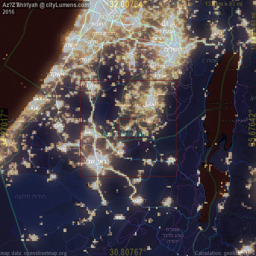
Analysis of Az̧ Z̧āhirīyah night lights 2016
Square area 10x10 km:
 0.52%
0.52%90-99
0.87%80-89
2.97%70-79
9.44%60-69
3.15%50-59
7.34%40-49
9.79%30-39
7.34%20-29
25.17%10-19
33.39%0-9
0%Square area 50x50 km:
4.12%90-99
4.23%80-89
5.07%70-79
9.22%60-69
2.83%50-59
5.18%40-49
8.82%30-39
7.85%20-29
9.95%10-19
17.98%0-9
24.76%Clear (daylight) street map image can be seen on geolist.org.
Map coordinates:
32° 0' 28.2" North, 34° 16' 12.6" East
31° 24' 34.8" North, 34° 58' 23.8" East
30° 48' 27.6" North, 35° 40' 35.1" East
Some cities around Az̧ Z̧āhirīyah sort by population:
• Yuta
12.2 km =7.6 mi,  70°
70°
• Dūrā
12.1 km =7.5 mi,  25°
25°
• As Samū‘
8.9 km =5.5 mi,  99°
99°
• Idhnā
16.6 km =10.3 mi,  0°
0°
• Taffūḩ
16.1 km =10 mi, 26°
• Bayt ‘Awwā
11.3 km =7 mi,  348°
348°
• Dayr Sāmit
12.3 km =7.6 mi, 0°
• Lehavim, IL
15.5 km =9.6 mi,  254°
254°
284486 (p: 27,616)
Sources (retrieved 2019-11-25):
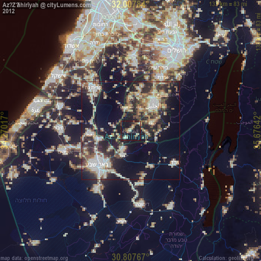
» Earth at Night: Flat Maps 2012, 2016