Dūrā night lights from space
Night Light of Dūrā (West Bank) from space (Palestinian Territory) Src. Average luminocity for 10x10km area is 59.7238% and for 50x50km: 36.1962%.
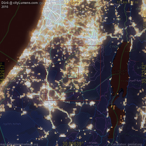
Analysis of Dūrā night lights 2016
Square area 10x10 km:
 2.97%
2.97%90-99
6.47%80-89
10.49%70-79
17.66%60-69
9.79%50-59
14.34%40-49
18.36%30-39
15.03%20-29
4.9%10-19
0%0-9
0%Square area 50x50 km:
2.95%90-99
3.91%80-89
5.92%70-79
9.17%60-69
3.65%50-59
6.06%40-49
8.62%30-39
7.46%20-29
10.3%10-19
15.51%0-9
26.46%Clear (daylight) street map image can be seen on geolist.org.
Map coordinates:
32° 6' 19.1" North, 34° 19' 34.2" East
31° 30' 28" North, 35° 1' 45.4" East
30° 54' 23" North, 35° 43' 56.7" East
Some cities around Dūrā sort by population:
• Hebron
6.6 km =4.1 mi,  68°
68°
• Yuta
9.2 km =5.7 mi,  138°
138°
• Idhnā
7.7 km =4.8 mi,  317°
317°
• Tarqūmyā
7.7 km =4.8 mi,  347°
347°
• Taffūḩ
3.9 km =2.4 mi,  29°
29°
• Bayt ‘Awwā
7.6 km =4.7 mi,  271°
271°
• Dayr Sāmit
5.4 km =3.4 mi,  285°
285°
• Bayt Kāḩil
7.7 km =4.8 mi, 26°
284011 (p: 20,835)
Sources (retrieved 2019-11-25):
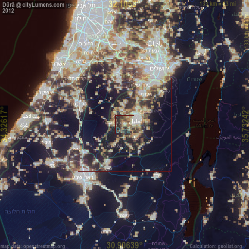
» Earth at Night: Flat Maps 2012, 2016