Ar Rām wa Ḑāḩiyat al Barīd night lights from space
Night Light of Ar Rām wa Ḑāḩiyat al Barīd (Gaza Strip) from space (Palestinian Territory) Src. Average luminocity for 10x10km area is 89.7381% and for 50x50km: 49.4413%.
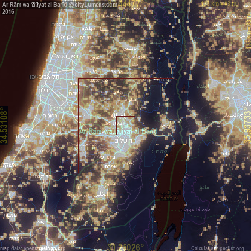
Analysis of Ar Rām wa Ḑāḩiyat al Barīd night lights 2016
Square area 10x10 km:
 32.42%
90-99
27.84%80-89
20.51%70-79
10.62%60-69
3.66%50-59
3.48%40-49
1.47%30-39
0%20-29
0%10-19
0%0-9
0%Square area 50x50 km:
8.15%90-99
7.92%80-89
9.5%70-79
9.82%60-69
5.86%50-59
7.79%40-49
9.55%30-39
6.63%20-29
8.07%10-19
8.11%0-9
18.59%Clear (daylight) street map image can be seen on geolist.org.
Map coordinates:
32° 26' 41.2" North, 34° 31' 51.9" East
31° 50' 58" North, 35° 14' 3.1" East
31° 15' 0.9" North, 35° 56' 14.4" East
Some cities around Ar Rām wa Ḑāḩiyat al Barīd sort by population:
• East Jerusalem
7.3 km =4.5 mi,  180°
180°
• Al Bīrah
6.9 km =4.3 mi,  346°
346°
• Kalandia
2.5 km =1.6 mi,  319°
319°
• Ramallah
6.3 km =3.9 mi,  333°
333°
• ‘Anātā
5 km =3.1 mi,  152°
152°
• Givat Zeev
6.3 km =3.9 mi,  282°
282°
• Dayr Dibwān
7.5 km =4.7 mi,  24°
24°
• Ḩizmā
3.3 km =2.1 mi,  123°
123°
284890 (p: 24,838)
Sources (retrieved 2019-11-25):
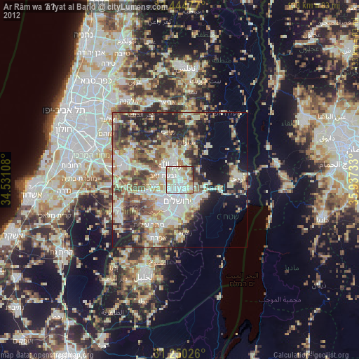
» Earth at Night: Flat Maps 2012, 2016