Kalandia night lights from space
Night Light of Kalandia (West Bank) from space (Palestinian Territory) Src. Average luminocity for 10x10km area is 91.5604% and for 50x50km: 52.0763%.
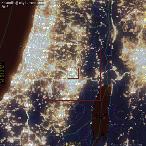
Analysis of Kalandia night lights 2016
Square area 10x10 km:
 31.68%
90-99
31.5%80-89
21.98%70-79
10.44%60-69
4.4%50-59
0%40-49
0%30-39
0%20-29
0%10-19
0%0-9
0%Square area 50x50 km:
8.65%90-99
8.51%80-89
10.07%70-79
10.55%60-69
6.19%50-59
8.33%40-49
9.89%30-39
7.01%20-29
7.66%10-19
7.47%0-9
15.66%Clear (daylight) street map image can be seen on geolist.org.
Map coordinates:
32° 27' 42.8" North, 34° 30' 48.8" East
31° 52' 0" North, 35° 13' 0" East
31° 16' 3.3" North, 35° 55' 11.3" East
Some cities around Kalandia sort by population:
• Al Bīrah
4.8 km =3 mi,  359°
359°
• Ar Rām wa Ḑāḩiyat al Barīd
2.5 km =1.6 mi,  139°
139°
• Ramallah
3.8 km =2.4 mi,  342°
342°
• Baytūnyā
5.5 km =3.4 mi,  307°
307°
• Givat Zeev
4.6 km =2.9 mi,  262°
262°
• Dayr Dibwān
6.8 km =4.2 mi,  43°
43°
• Biddū
7.3 km =4.5 mi,  240°
240°
• Ḩizmā
5.7 km =3.5 mi,  130°
130°
284572 (p: 25,595)
Sources (retrieved 2019-11-25):
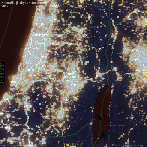
» Earth at Night: Flat Maps 2012, 2016