Trujillo Alto night lights from space
Night Light of Trujillo Alto from space (Puerto Rico) Src. Average luminocity for 10x10km area is 87.2583% and for 50x50km: 44.3483%.
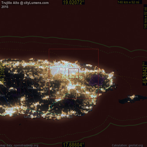

Analysis of Trujillo Alto night lights 2016
Square area 10x10 km:
 38.84%
90-99
14.26%80-89
12.19%70-79
19.63%60-69
13.43%50-59
1.65%40-49
0%30-39
0%20-29
0%10-19
0%0-9
0%Square area 50x50 km:
11.17%90-99
6.84%80-89
4.52%70-79
5.84%60-69
8.22%50-59
7.2%40-49
7.02%30-39
6.56%20-29
8.08%10-19
10.19%0-9
24.36%Clear (daylight) street map image can be seen on geolist.org.
Map coordinates:
19° 1' 14.6" North, 66° 42' 37.9" West
18° 21' 16.8" North, 66° 0' 26.6" West
17° 41' 9.7" North, 65° 18' 15.4" West
Some cities around Trujillo Alto sort by population:
• Carolina
6 km =3.7 mi,  61°
61°
• Caguas
14.1 km =8.8 mi,  197°
197°
• Guaynabo
10.9 km =6.8 mi,  271°
271°
• Gurabo
11.7 km =7.3 mi,  161°
161°
• Canovanas
11.6 km =7.2 mi,  78°
78°
• San Isidro
13.5 km =8.4 mi,  72°
72°
• Santa Barbara
10.3 km =6.4 mi, 65°
• Aguas Buenas
14.8 km =9.2 mi,  222°
222°
4568451 (p: 54,189)
Sources (retrieved 2019-11-25):
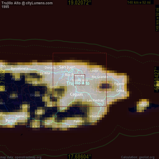
» NASA, Earths city lights 1995
» NASA city lights 2003
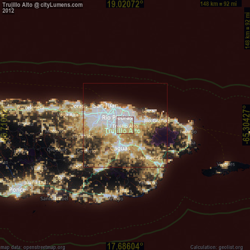
» Earth at Night: Flat Maps 2012, 2016