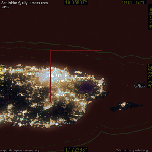
San Isidro night lights from space
Night Light of San Isidro (Canóvanas) from space (Puerto Rico) Src. Average luminocity for 10x10km area is 61.0496% and for 50x50km: 34.0044%.
Analysis of San Isidro night lights 2016
Square area 10x10 km:
 9.92%
9.92%90-99
13.02%80-89
8.47%70-79
10.74%60-69
8.68%50-59
10.33%40-49
4.96%30-39
15.7%20-29
16.94%10-19
1.24%0-9
0%Square area 50x50 km:
7.74%90-99
5.07%80-89
4.02%70-79
4.69%60-69
6.17%50-59
5.69%40-49
5.38%30-39
4.58%20-29
6.23%10-19
9.75%0-9
40.68%Clear (daylight) street map image can be seen on geolist.org.
Map coordinates:
19° 3' 29.1" North, 66° 35' 18.9" West
18° 23' 31.8" North, 65° 53' 7.6" West
17° 43' 25.2" North, 65° 10' 56.4" West
Some cities around San Isidro sort by population:
• Carolina
7.7 km =4.8 mi,  260°
260°
• Trujillo Alto
13.5 km =8.4 mi,  252°
252°
• Río Grande
5.9 km =3.7 mi,  103°
103°
• Gurabo
17.9 km =11.1 mi,  211°
211°
• Canovanas
2.4 km =1.5 mi,  217°
217°
• Luquillo
18 km =11.2 mi, 97°
• Santa Barbara
3.5 km =2.2 mi,  272°
272°
• Loíza
4.4 km =2.7 mi,  7°
7°
4568109 (p: 8,071)
Sources (retrieved 2019-11-25):
» Earth at Night: Flat Maps 2012, 2016