Carolina night lights from space
Night Light of Carolina from space (Puerto Rico) Src. Average luminocity for 10x10km area is 82.2293% and for 50x50km: 39.8015%.
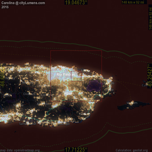
Analysis of Carolina night lights 2016
Square area 10x10 km:
 29.13%
90-99
22.52%80-89
7.85%70-79
13.84%60-69
9.3%50-59
9.09%40-49
3.1%30-39
4.13%20-29
1.03%10-19
0%0-9
0%Square area 50x50 km:
10.42%90-99
5.94%80-89
4.09%70-79
5.34%60-69
7.17%50-59
6.2%40-49
6.26%30-39
5.83%20-29
6.86%10-19
8.85%0-9
33.03%Clear (daylight) street map image can be seen on geolist.org.
Map coordinates:
19° 2' 48.2" North, 66° 39' 37.9" West
18° 22' 50.8" North, 65° 57' 26.6" West
17° 42' 44.1" North, 65° 15' 15.4" West
Some cities around Carolina sort by population:
• Guaynabo
16.4 km =10.2 mi,  260°
260°
• Trujillo Alto
6 km =3.7 mi,  241°
241°
• Río Grande
13.3 km =8.3 mi,  90°
90°
• Gurabo
14.1 km =8.8 mi,  186°
186°
• Canovanas
6.2 km =3.9 mi,  95°
95°
• San Isidro
7.7 km =4.8 mi,  80°
80°
• Santa Barbara
4.3 km =2.7 mi,  70°
70°
• Loíza
9.9 km =6.2 mi,  55°
55°
4563243 (p: 170,404)
Sources (retrieved 2019-11-25):
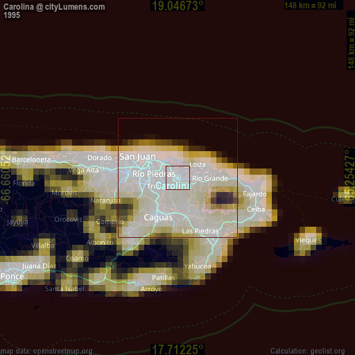
» NASA, Earths city lights 1995
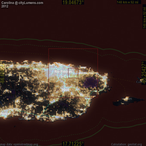
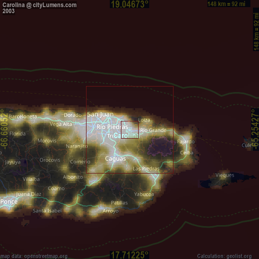
» NASA city lights 2003
» Earth at Night: Flat Maps 2012, 2016