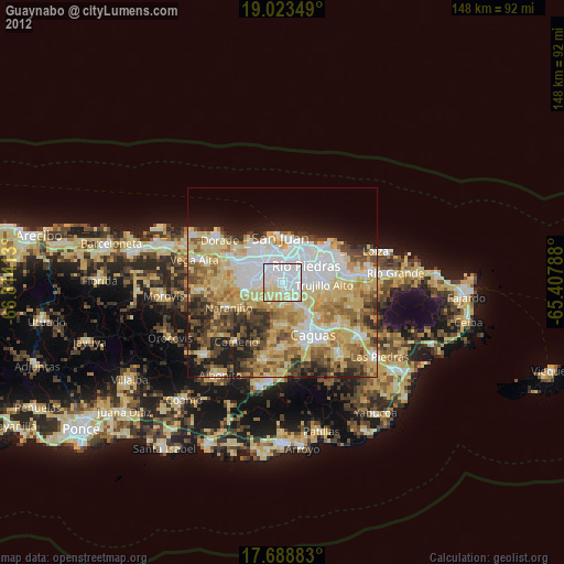
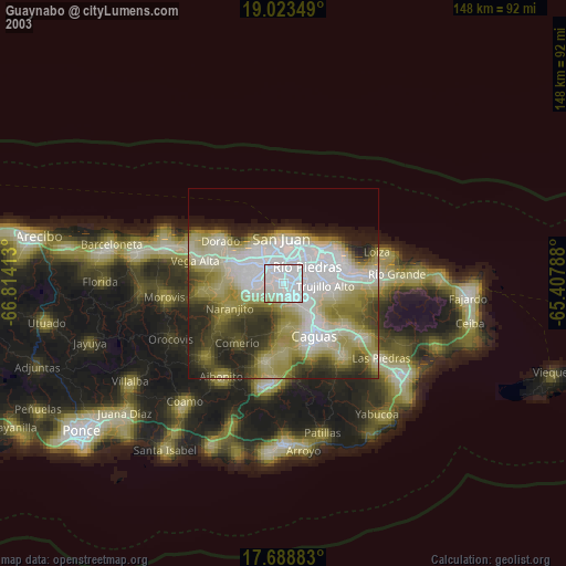
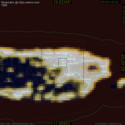
Guaynabo night lights from space
Night Light of Guaynabo from space (Puerto Rico) Src. Average luminocity for 10x10km area is 91.7851% and for 50x50km: 46.3873%.
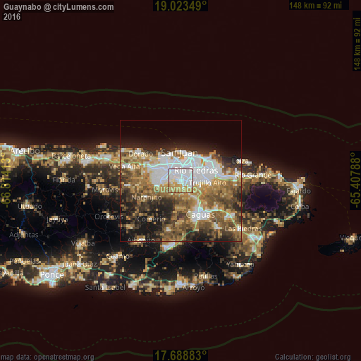
Analysis of Guaynabo night lights 2016
Square area 10x10 km:
 54.13%
90-99
13.64%80-89
9.09%70-79
17.36%60-69
5.79%50-59
0%40-49
0%30-39
0%20-29
0%10-19
0%0-9
0%Square area 50x50 km:
11.18%90-99
7%80-89
5.15%70-79
6.12%60-69
9.15%50-59
7.65%40-49
7.73%30-39
6.46%20-29
8.01%10-19
10.84%0-9
20.7%Clear (daylight) street map image can be seen on geolist.org.
Map coordinates:
19° 1' 24.6" North, 66° 48' 50.9" West
18° 21' 26.8" North, 66° 6' 39.6" West
17° 41' 19.8" North, 65° 24' 28.4" West
Some cities around Guaynabo sort by population:
• San Juan
12.1 km =7.5 mi,  2°
2°
• Bayamón
6.6 km =4.1 mi,  314°
314°
• Trujillo Alto
10.9 km =6.8 mi,  91°
91°
• Cataño
9.4 km =5.8 mi,  355°
355°
• Candelaria
11.5 km =7.1 mi,  296°
296°
• Pájaros
11.2 km =7 mi,  276°
276°
• Sabana Seca
11 km =6.8 mi, 314°
• Aguas Buenas
11.2 km =7 mi,  175°
175°
4565119 (p: 81,360)
Sources (retrieved 2019-11-25):
» NASA, Earths city lights 1995
» NASA city lights 2003
» Earth at Night: Flat Maps 2012, 2016