Río Grande night lights from space
Night Light of Río Grande from space (Puerto Rico) Src. Average luminocity for 10x10km area is 50.343% and for 50x50km: 29.9035%.
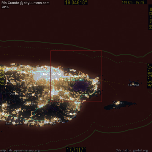
Analysis of Río Grande night lights 2016
Square area 10x10 km:
 4.34%
4.34%90-99
7.23%80-89
8.47%70-79
7.02%60-69
6.2%50-59
8.68%40-49
13.02%30-39
14.46%20-29
23.97%10-19
6.61%0-9
0%Square area 50x50 km:
5.37%90-99
4.61%80-89
3.55%70-79
4.09%60-69
5.9%50-59
4.9%40-49
5%30-39
4.82%20-29
6.21%10-19
10.94%0-9
44.62%Clear (daylight) street map image can be seen on geolist.org.
Map coordinates:
19° 2' 46.2" North, 66° 32' 3.8" West
18° 22' 48.8" North, 65° 49' 52.6" West
17° 42' 42.1" North, 65° 7' 41.3" West
Some cities around Río Grande sort by population:
• Carolina
13.3 km =8.3 mi,  270°
270°
• Trujillo Alto
18.8 km =11.7 mi,  261°
261°
• Juncos
19.4 km =12.1 mi,  209°
209°
• Canovanas
7.2 km =4.5 mi, 265°
• Luquillo
12.1 km =7.5 mi,  94°
94°
• San Isidro
5.9 km =3.7 mi,  283°
283°
• Santa Barbara
9.4 km =5.8 mi, 279°
• Loíza
7.7 km =4.8 mi,  317°
317°
4567817 (p: 13,467)
Sources (retrieved 2019-11-25):
» Earth at Night: Flat Maps 2012, 2016