Patillas night lights from space
Night Light of Patillas from space (Puerto Rico) Src. Average luminocity for 10x10km area is 28.8333% and for 50x50km: 20.9747%.
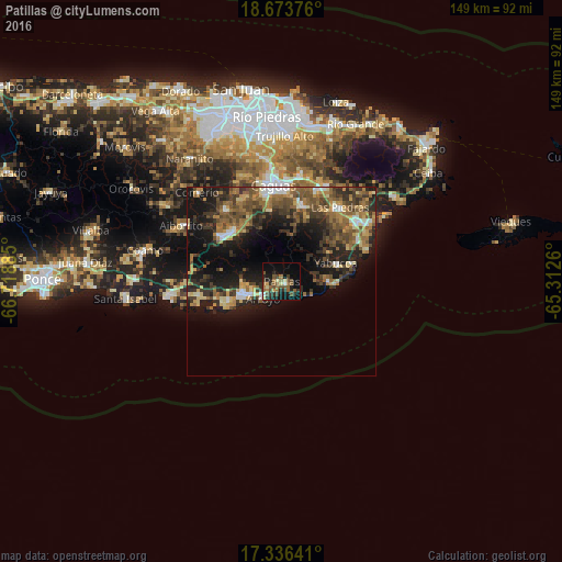
Analysis of Patillas night lights 2016
Square area 10x10 km:
 0.43%
0.43%90-99
1.52%80-89
3.9%70-79
2.38%60-69
5.84%50-59
11.47%40-49
6.28%30-39
4.33%20-29
10.17%10-19
20.35%0-9
33.33%Square area 50x50 km:
1.4%90-99
1.69%80-89
2.66%70-79
2.39%60-69
4.48%50-59
4.62%40-49
5.1%30-39
5.39%20-29
6.53%10-19
13.85%0-9
51.89%Clear (daylight) street map image can be seen on geolist.org.
Map coordinates:
18° 40' 25.5" North, 66° 43' 7.9" West
18° 0' 22.9" North, 66° 0' 56.6" West
17° 20' 11.1" North, 65° 18' 45.4" West
Some cities around Patillas sort by population:
• Guayama
10.7 km =6.6 mi,  256°
256°
• Cayey
19.8 km =12.3 mi,  306°
306°
• San Lorenzo
21.2 km =13.2 mi,  15°
15°
• Arroyo
6.6 km =4.1 mi,  226°
226°
• Yabucoa
15.2 km =9.4 mi,  71°
71°
• Las Piedras
25.2 km =15.7 mi,  38°
38°
• Cidra
24.3 km =15.1 mi,  320°
320°
• Maunabo
12.3 km =7.6 mi,  89°
89°
4566652 (p: 4,247)
Sources (retrieved 2019-11-25):
» Earth at Night: Flat Maps 2012, 2016