Cayey night lights from space
Night Light of Cayey from space (Puerto Rico) Src. Average luminocity for 10x10km area is 38.3896% and for 50x50km: 31.0568%.
Analysis of Cayey night lights 2016
Square area 10x10 km:
100  5.19%
5.19%
90-99 4.33%
80-89 2.81%
70-79 5.19%
60-69 9.31%
50-59 6.93%
40-49 5.41%
30-39 9.09%
20-29 11.04%
10-19 30.3%
0-9 10.39%
5.19%90-99
4.33%80-89
2.81%70-79
5.19%60-69
9.31%50-59
6.93%40-49
5.41%30-39
9.09%20-29
11.04%10-19
30.3%0-9
10.39%Square area 50x50 km:
100 1.89%
90-99 2.62%
80-89 4.31%
70-79 4.63%
60-69 7.6%
50-59 6.08%
40-49 6.29%
30-39 6.97%
20-29 8.36%
10-19 21.37%
0-9 29.89%
1.89%90-99
2.62%80-89
4.31%70-79
4.63%60-69
7.6%50-59
6.08%40-49
6.29%30-39
6.97%20-29
8.36%10-19
21.37%0-9
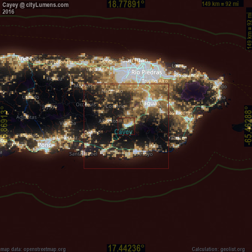
29.89%Clear (daylight) street map image can be seen on geolist.org.
Map coordinates:
18° 46' 44.1" North, 66° 52' 8.9" West
18° 6' 42.9" North, 66° 9' 57.6" West
17° 26' 32.5" North, 65° 27' 46.4" West
Some cities around Cayey sort by population:
• Caguas
18.4 km =11.4 mi,  42°
42°
• Guayama
15.2 km =9.4 mi,  158°
158°
• Aibonito
11 km =6.8 mi,  286°
286°
• Coco
15.3 km =9.5 mi,  220°
220°
• Cidra
7.1 km =4.4 mi,  4°
4°
• Comerío
13.4 km =8.3 mi,  331°
331°
• Aguas Buenas
17.4 km =10.8 mi,  22°
22°
• Barranquitas
17 km =10.6 mi,  299°
299°
4563308 (p: 18,494)
Sources (retrieved 2019-11-25):
» Earth at Night: Flat Maps 2012, 2016