San Lorenzo night lights from space
Night Light of San Lorenzo from space (Puerto Rico) Src. Average luminocity for 10x10km area is 53.4026% and for 50x50km: 42.4018%.
Analysis of San Lorenzo night lights 2016
Square area 10x10 km:
 3.68%
3.68%90-99
6.06%80-89
4.76%70-79
4.55%60-69
12.34%50-59
21%40-49
22.94%30-39
12.55%20-29
8.66%10-19
3.46%0-9
0%Square area 50x50 km:
8.21%90-99
5.22%80-89
4.96%70-79
5.74%60-69
8.81%50-59
7.77%40-49
7.66%30-39
7.07%20-29
8.97%10-19
13.28%0-9
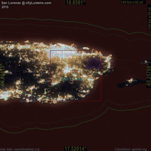
22.31%Clear (daylight) street map image can be seen on geolist.org.
Map coordinates:
18° 51' 22" North, 66° 39' 50.9" West
18° 11' 21.8" North, 65° 57' 39.6" West
17° 31' 12.5" North, 65° 15' 28.4" West
Some cities around San Lorenzo sort by population:
• Caguas
10.5 km =6.5 mi,  298°
298°
• Trujillo Alto
19 km =11.8 mi,  345°
345°
• Humacao
14.8 km =9.2 mi,  107°
107°
• Gurabo
7.3 km =4.5 mi, 350°
• Juncos
6 km =3.7 mi,  44°
44°
• Yabucoa
17.7 km =11 mi,  150°
150°
• Las Piedras
10 km =6.2 mi,  94°
94°
• Aguas Buenas
16.8 km =10.4 mi, 296°
4568149 (p: 9,373)
Sources (retrieved 2019-11-25):
» Earth at Night: Flat Maps 2012, 2016