Cataño night lights from space
Night Light of Cataño from space (Puerto Rico) Src. Average luminocity for 10x10km area is 80.0186% and for 50x50km: 38.7917%.

Analysis of Cataño night lights 2016
Square area 10x10 km:
 55.17%
90-99
10.74%80-89
2.27%70-79
3.1%60-69
1.45%50-59
3.72%40-49
4.34%30-39
6.4%20-29
12.4%10-19
0.41%0-9
0%Square area 50x50 km:
10.86%90-99
6.42%80-89
4.47%70-79
5.48%60-69
7.07%50-59
5.3%40-49
5.06%30-39
4.39%20-29
5.91%10-19
6.49%0-9
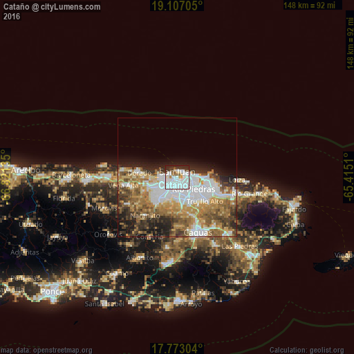
38.55%Clear (daylight) street map image can be seen on geolist.org.
Map coordinates:
19° 6' 25.4" North, 66° 49' 16.9" West
18° 26' 28.8" North, 66° 7' 5.6" West
17° 46' 22.9" North, 65° 24' 54.4" West
Some cities around Cataño sort by population:
• San Juan
3.1 km =1.9 mi,  25°
25°
• Bayamón
6.2 km =3.9 mi,  219°
219°
• Guaynabo
9.4 km =5.8 mi,  175°
175°
• Levittown
6.7 km =4.2 mi,  278°
278°
• Candelaria
10.4 km =6.5 mi,  246°
246°
• Sabana Seca
7.2 km =4.5 mi,  257°
257°
• Candelaria Arenas
10.8 km =6.7 mi, 255°
• Ingenio
11.4 km =7.1 mi,  270°
270°
4563298 (p: 28,093)
Sources (retrieved 2019-11-25):
» Earth at Night: Flat Maps 2012, 2016