Barceloneta night lights from space
Night Light of Barceloneta from space (Puerto Rico) Src. Average luminocity for 10x10km area is 48.1942% and for 50x50km: 18.2031%.
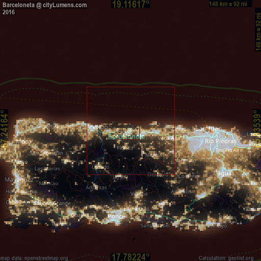
Analysis of Barceloneta night lights 2016
Square area 10x10 km:
 5.99%
5.99%90-99
5.17%80-89
10.95%70-79
7.85%60-69
7.64%50-59
2.27%40-49
9.5%30-39
12.4%20-29
21.9%10-19
16.12%0-9
0.21%Square area 50x50 km:
1.37%90-99
1.64%80-89
2.88%70-79
2.75%60-69
3.38%50-59
1.8%40-49
3.33%30-39
4.87%20-29
8.22%10-19
10.7%0-9
59.06%Clear (daylight) street map image can be seen on geolist.org.
Map coordinates:
19° 6' 58.2" North, 67° 14' 29.9" West
18° 27' 1.8" North, 66° 32' 18.6" West
17° 46' 56.1" North, 65° 50' 7.4" West
Some cities around Barceloneta sort by population:
• Arecibo
18.8 km =11.7 mi,  277°
277°
• Vega Baja
15.9 km =9.9 mi,  92°
92°
• Manatí
5.5 km =3.4 mi,  117°
117°
• Ceiba
19.8 km =12.3 mi, 91°
• Estancias de Florida
9.9 km =6.2 mi,  199°
199°
• Florida
10.1 km =6.3 mi,  193°
193°
• Ciales
14.7 km =9.1 mi,  149°
149°
• Morovis
19.7 km =12.2 mi,  134°
134°
4562768 (p: 22,322)
Sources (retrieved 2019-11-25):
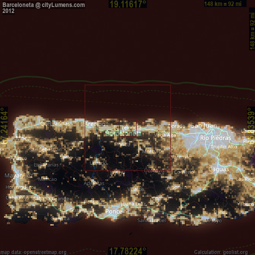
» Earth at Night: Flat Maps 2012, 2016