Saint-Pierre night lights from space
Night Light of Saint-Pierre from space (Saint Pierre and Miquelon) Src. Average luminocity for 10x10km area is 4.6979% and for 50x50km: 0.1882%.
Analysis of Saint-Pierre night lights 2016
Square area 10x10 km:
 0.3%
0.3%90-99
0.45%80-89
1.64%70-79
1.64%60-69
0.15%50-59
0.6%40-49
0%30-39
0%20-29
0.15%10-19
1.04%0-9
94.05%Square area 50x50 km:
0.01%90-99
0.02%80-89
0.07%70-79
0.07%60-69
0.01%50-59
0.02%40-49
0%30-39
0%20-29
0.01%10-19
0.04%0-9
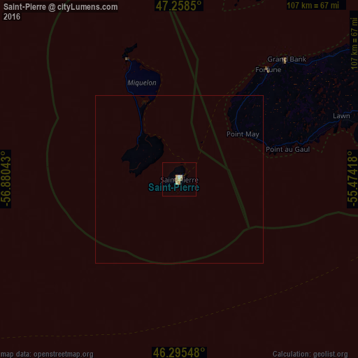
99.76%Clear (daylight) street map image can be seen on geolist.org.
Map coordinates:
47° 15' 30.6" North, 56° 52' 49.5" West
46° 46' 44.9" North, 56° 10' 38.3" West
46° 17' 43.7" North, 55° 28' 27" West
Some cities around Saint-Pierre sort by population:
• Mount Pearl, CA
269.6 km =167.5 mi,  72°
72°
• Corner Brook, CA
275.3 km =171.1 mi,  331°
331°
• Conception Bay South, CA
253.4 km =157.5 mi, 71°
• Bay Roberts, CA
238.2 km =148 mi, 67°
• Grand Falls-Windsor, CA
242.5 km =150.7 mi,  9°
9°
• Carbonear, CA
247.4 km =153.7 mi,  64°
64°
• Stephenville, CA
266.8 km =165.8 mi,  317°
317°
• Miquelon
38.6 km =24 mi,  336°
336°
3424934 (p: 6,200)
Sources (retrieved 2019-11-25):
» Earth at Night: Flat Maps 2012, 2016