Mount Pearl night lights from space
Night Light of Mount Pearl (Newfoundland and Labrador) from space (Canada) Src. Average luminocity for 10x10km area is 53.0781% and for 50x50km: 7.5419%.

Analysis of Mount Pearl night lights 2016
Square area 10x10 km:
 16.76%
90-99
13.07%80-89
4.55%70-79
5.11%60-69
3.55%50-59
3.98%40-49
3.84%30-39
6.96%20-29
19.18%10-19
17.9%0-9
5.11%Square area 50x50 km:
1.4%90-99
1.45%80-89
0.44%70-79
0.68%60-69
0.91%50-59
1.01%40-49
0.9%30-39
1.11%20-29
2.69%10-19
5.53%0-9
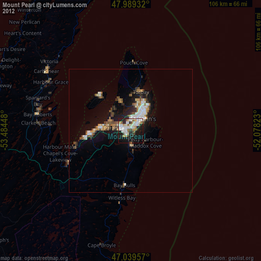
83.89%Clear (daylight) street map image can be seen on geolist.org.
Map coordinates:
47° 59' 21.6" North, 53° 29' 4.1" West
47° 30' 59.7" North, 52° 46' 52.9" West
47° 2' 22.5" North, 52° 4' 41.6" West
Some cities around Mount Pearl sort by population:
• St. John's
7.6 km =4.7 mi,  45°
45°
• Corner Brook
414.7 km =257.7 mi,  292°
292°
• Conception Bay South
16.4 km =10.2 mi,  263°
263°
• Bay Roberts
37.4 km =23.2 mi,  284°
284°
• Grand Falls-Windsor
265.4 km =164.9 mi,  306°
306°
• Carbonear
40.4 km =25.1 mi, 306°
• Saint-Pierre, PM
269.6 km =167.5 mi,  252°
252°
• Miquelon, PM
275.4 km =171.1 mi, 260°
6082231 (p: 24,671)
Sources (retrieved 2019-11-25):
» Earth at Night: Flat Maps 2012, 2016