Miquelon night lights from space
Night Light of Miquelon (Miquelon-Langlade) from space (Saint Pierre and Miquelon) Src. Average luminocity for 10x10km area is 0.419% and for 50x50km: 0.0173%.
Analysis of Miquelon night lights 2016
Square area 10x10 km:
 0%
0%90-99
0%80-89
0%70-79
0%60-69
0%50-59
0%40-49
0.57%30-39
0%20-29
0.57%10-19
0%0-9
98.86%Square area 50x50 km:
0%90-99
0%80-89
0%70-79
0%60-69
0%50-59
0%40-49
0.02%30-39
0%20-29
0.02%10-19
0%0-9
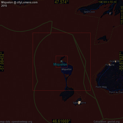
99.95%Clear (daylight) street map image can be seen on geolist.org.
Map coordinates:
47° 34' 26.4" North, 57° 5' 4.3" West
47° 5' 51" North, 56° 22' 53" West
46° 37' 0.1" North, 55° 40' 41.8" West
Some cities around Miquelon sort by population:
• Mount Pearl, CA
275.4 km =171.1 mi,  80°
80°
• Corner Brook, CA
236.8 km =147.1 mi,  330°
330°
• Conception Bay South, CA
259 km =160.9 mi, 80°
• Bay Roberts, CA
241.3 km =149.9 mi, 76°
• Grand Falls-Windsor, CA
211 km =131.1 mi,  14°
14°
• Carbonear, CA
248.5 km =154.4 mi,  73°
73°
• Stephenville, CA
230.3 km =143.1 mi,  314°
314°
• Saint-Pierre
38.6 km =24 mi,  156°
156°
3424941 (p: 1,141)
Sources (retrieved 2019-11-25):
» Earth at Night: Flat Maps 2012, 2016