Grand Falls-Windsor night lights from space
Night Light of Grand Falls-Windsor (Newfoundland and Labrador) from space (Canada) Src. Average luminocity for 10x10km area is 13.5469% and for 50x50km: 0.6466%.
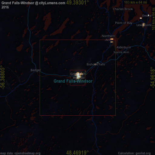
Analysis of Grand Falls-Windsor night lights 2016
Square area 10x10 km:
 1.7%
1.7%90-99
1.7%80-89
1.7%70-79
0.71%60-69
3.27%50-59
2.84%40-49
2.41%30-39
0.85%20-29
0.14%10-19
2.56%0-9
82.1%Square area 50x50 km:
0.07%90-99
0.07%80-89
0.07%70-79
0.03%60-69
0.13%50-59
0.16%40-49
0.1%30-39
0.08%20-29
0.1%10-19
0.12%0-9
99.09%Clear (daylight) street map image can be seen on geolist.org.
Map coordinates:
49° 23' 34.8" North, 56° 22' 5" West
48° 55' 59.7" North, 55° 39' 53.7" West
48° 28' 9.1" North, 54° 57' 42.5" West
Some cities around Grand Falls-Windsor sort by population:
• Mount Pearl
265.4 km =164.9 mi,  126°
126°
• Corner Brook
167 km =103.8 mi,  270°
270°
• Conception Bay South
253.8 km =157.7 mi, 128°
• Bay Roberts
231.4 km =143.8 mi, 129°
• Carbonear
224.9 km =139.7 mi, 126°
• Stephenville
218.1 km =135.5 mi,  258°
258°
• Saint-Pierre, PM
242.5 km =150.7 mi,  189°
189°
• Miquelon, PM
211 km =131.1 mi, 194°
5964378 (p: 12,076)
Sources (retrieved 2019-11-25):
» Earth at Night: Flat Maps 2012, 2016