Stephenville night lights from space
Night Light of Stephenville (Newfoundland and Labrador) from space (Canada) Src. Average luminocity for 10x10km area is 9.4375% and for 50x50km: 0.4276%.
Analysis of Stephenville night lights 2016
Square area 10x10 km:
 2.08%
2.08%90-99
1.79%80-89
0.89%70-79
0.89%60-69
1.93%50-59
0.74%40-49
0%30-39
0.45%20-29
0.3%10-19
1.04%0-9
89.88%Square area 50x50 km:
0.08%90-99
0.07%80-89
0.03%70-79
0.06%60-69
0.1%50-59
0.05%40-49
0%30-39
0.04%20-29
0.01%10-19
0.04%0-9
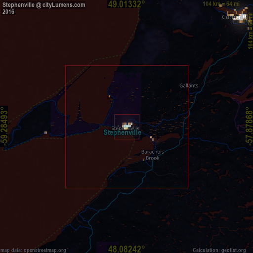
99.52%Clear (daylight) street map image can be seen on geolist.org.
Map coordinates:
49° 0' 48" North, 59° 17' 5.7" West
48° 33' 0" North, 58° 34' 54.5" West
48° 4' 56.7" North, 57° 52' 43.2" West
Some cities around Stephenville sort by population:
• Sydney
294.4 km =182.9 mi,  204°
204°
• Glace Bay
281.4 km =174.9 mi, 201°
• Corner Brook
64.1 km =39.8 mi,  46°
46°
• Grand Falls-Windsor
218.1 km =135.5 mi,  78°
78°
• Sydney Mines
285.2 km =177.2 mi,  205°
205°
• Saint-Pierre, PM
266.8 km =165.8 mi,  137°
137°
• Princeville
371.4 km =230.8 mi, 213°
• Miquelon, PM
230.3 km =143.1 mi,  134°
134°
6156244 (p: 6,278)
Sources (retrieved 2019-11-25):
» Earth at Night: Flat Maps 2012, 2016