Zawiercie night lights from space
Night Light of Zawiercie (Silesia) from space (Poland) Src. Average luminocity for 10x10km area is 20.4062% and for 50x50km: 13.2744%.
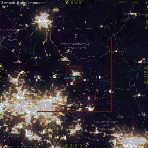

Analysis of Zawiercie night lights 2016
Square area 10x10 km:
 3.36%
3.36%90-99
3.78%80-89
0.42%70-79
0.28%60-69
2.38%50-59
2.1%40-49
5.6%30-39
4.34%20-29
1.4%10-19
25.35%0-9
50.98%Square area 50x50 km:
3.05%90-99
2.66%80-89
0.84%70-79
1.11%60-69
1.67%50-59
2.07%40-49
2.05%30-39
2.13%20-29
2.08%10-19
5.25%0-9
77.07%Clear (daylight) street map image can be seen on geolist.org.
Map coordinates:
50° 55' 58.4" North, 18° 42' 49.2" East
50° 29' 15.6" North, 19° 25' 0.4" East
50° 2' 17.4" North, 20° 7' 11.7" East
Some cities around Zawiercie sort by population:
• Dąbrowa Górnicza
22.8 km =14.2 mi,  221°
221°
• Myszków
11.7 km =7.3 mi,  326°
326°
• Bukowno
25 km =15.5 mi,  173°
173°
• Poręba
5.5 km =3.4 mi,  270°
270°
• Łazy
6.8 km =4.2 mi,  193°
193°
• Sławków
21 km =13 mi, 185°
• Klucze
19.8 km =12.3 mi,  148°
148°
• Siewierz
13.4 km =8.3 mi,  259°
259°
3080526 (p: 53,159)
Sources (retrieved 2019-11-25):
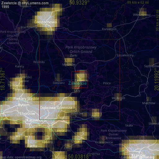
» NASA, Earths city lights 1995
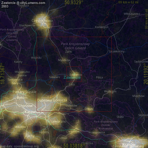
» NASA city lights 2003
» Earth at Night: Flat Maps 2012, 2016