Ostrów Mazowiecka night lights from space
Night Light of Ostrów Mazowiecka (Mazovia) from space (Poland) Src. Average luminocity for 10x10km area is 15.2664% and for 50x50km: 1.391%.
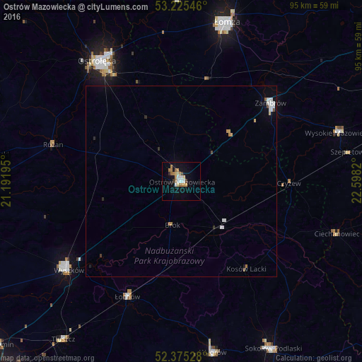
Analysis of Ostrów Mazowiecka night lights 2016
Square area 10x10 km:
 2.27%
2.27%90-99
2.15%80-89
1.77%70-79
2.27%60-69
3.66%50-59
1.01%40-49
1.01%30-39
0.63%20-29
0.38%10-19
11.36%0-9
73.48%Square area 50x50 km:
0.25%90-99
0.27%80-89
0.14%70-79
0.15%60-69
0.22%50-59
0.07%40-49
0.11%30-39
0.07%20-29
0.12%10-19
0.59%0-9
98.01%Clear (daylight) street map image can be seen on geolist.org.
Map coordinates:
53° 13' 31.7" North, 21° 11' 31" East
52° 48' 8.8" North, 21° 53' 42.3" East
52° 22' 31" North, 22° 35' 53.5" East
Some cities around Ostrów Mazowiecka sort by population:
• Łomża
43.2 km =26.8 mi,  14°
14°
• Wyszków
37.5 km =23.3 mi,  231°
231°
• Zambrów
31 km =19.3 mi,  48°
48°
• Sokołów Podlaski
50.2 km =31.2 mi,  151°
151°
• Węgrów
45.5 km =28.3 mi,  169°
169°
• Wysokie Mazowieckie
43.6 km =27.1 mi,  73°
73°
• Łochów
33.5 km =20.8 mi,  205°
205°
• Małkinia Górna
15.2 km =9.4 mi,  143°
143°
762850 (p: 22,653)
Sources (retrieved 2019-11-25):
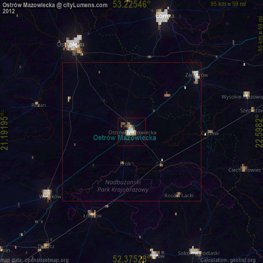
» Earth at Night: Flat Maps 2012, 2016