Wyrzysk night lights from space
Night Light of Wyrzysk (Greater Poland) from space (Poland) Src. Average luminocity for 10x10km area is 2.5631% and for 50x50km: 1.5577%.
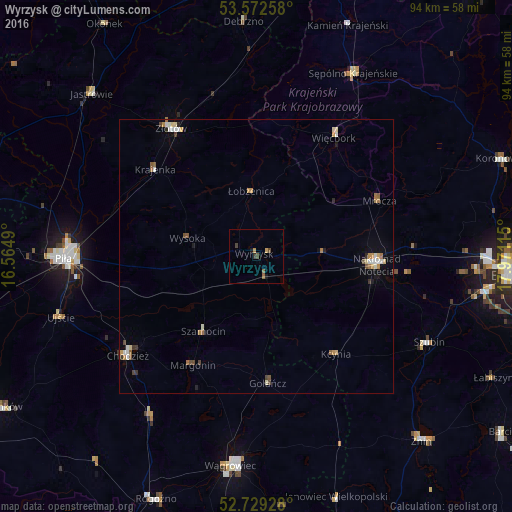
Analysis of Wyrzysk night lights 2016
Square area 10x10 km:
 0%
0%90-99
0%80-89
0%70-79
0.88%60-69
0.38%50-59
0.76%40-49
1.39%30-39
0.25%20-29
0.38%10-19
1.01%0-9
94.95%Square area 50x50 km:
0.2%90-99
0.25%80-89
0.19%70-79
0.25%60-69
0.25%50-59
0.22%40-49
0.24%30-39
0.15%20-29
0.14%10-19
0.27%0-9
97.85%Clear (daylight) street map image can be seen on geolist.org.
Map coordinates:
53° 34' 21.3" North, 16° 33' 53.6" East
53° 9' 10.8" North, 17° 16' 4.9" East
52° 43' 45.4" North, 17° 58' 16.1" East
Some cities around Wyrzysk sort by population:
• Piła
35.4 km =22 mi,  269°
269°
• Wągrowiec
38.6 km =24 mi,  186°
186°
• Chodzież
29.1 km =18.1 mi,  232°
232°
• Nakło nad Notecią
22.3 km =13.9 mi,  93°
93°
• Złotów
27.9 km =17.3 mi,  327°
327°
• Sępólno Krajeńskie
37.6 km =23.4 mi,  27°
27°
• Szubin
35.3 km =21.9 mi,  116°
116°
• Więcbork
26.8 km =16.7 mi, 33°
3081158 (p: 5,263)
Sources (retrieved 2019-11-25):
» Earth at Night: Flat Maps 2012, 2016