Wągrowiec night lights from space
Night Light of Wągrowiec (Greater Poland) from space (Poland) Src. Average luminocity for 10x10km area is 13.6098% and for 50x50km: 1.795%.
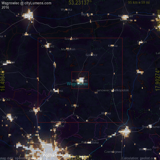
Analysis of Wągrowiec night lights 2016
Square area 10x10 km:
 2.78%
2.78%90-99
3.79%80-89
1.01%70-79
1.39%60-69
0.63%50-59
0%40-49
1.52%30-39
1.01%20-29
0%10-19
7.95%0-9
79.92%Square area 50x50 km:
0.21%90-99
0.31%80-89
0.18%70-79
0.32%60-69
0.22%50-59
0.15%40-49
0.31%30-39
0.28%20-29
0.1%10-19
0.47%0-9
97.45%Clear (daylight) street map image can be seen on geolist.org.
Map coordinates:
53° 13' 52.9" North, 16° 29' 47.4" East
52° 48' 30.3" North, 17° 11' 58.6" East
52° 22' 52.7" North, 17° 54' 9.9" East
Some cities around Wągrowiec sort by population:
• Chodzież
28 km =17.4 mi,  317°
317°
• Oborniki
31.5 km =19.6 mi,  235°
235°
• Żnin
35.3 km =21.9 mi,  82°
82°
• Rogoźno
15.4 km =9.6 mi,  246°
246°
• Murowana Goślina
29 km =18 mi,  206°
206°
• Pobiedziska
37.3 km =23.2 mi,  170°
170°
• Wyrzysk
38.6 km =24 mi,  6°
6°
• Janowiec Wielkopolski
20.4 km =12.7 mi,  106°
106°
3082712 (p: 24,428)
Sources (retrieved 2019-11-25):
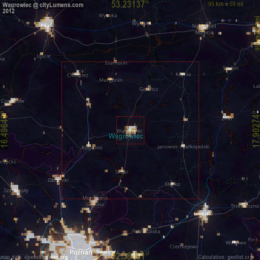
» Earth at Night: Flat Maps 2012, 2016