Chodzież night lights from space
Night Light of Chodzież (Greater Poland) from space (Poland) Src. Average luminocity for 10x10km area is 6.787% and for 50x50km: 2.9514%.
Analysis of Chodzież night lights 2016
Square area 10x10 km:
 1.19%
1.19%90-99
0.93%80-89
0.53%70-79
1.06%60-69
0%50-59
0.93%40-49
0.93%30-39
2.78%20-29
0.66%10-19
0.53%0-9
90.48%Square area 50x50 km:
0.56%90-99
0.62%80-89
0.2%70-79
0.25%60-69
0.29%50-59
0.31%40-49
0.33%30-39
0.33%20-29
0.24%10-19
2.2%0-9
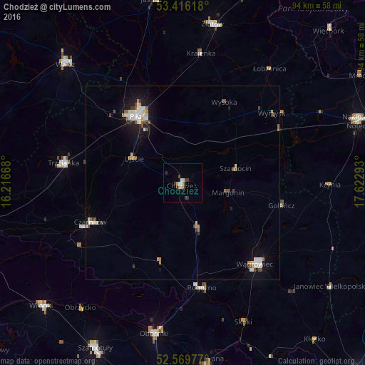
94.67%Clear (daylight) street map image can be seen on geolist.org.
Map coordinates:
53° 24' 58.2" North, 16° 13' 0" East
52° 59' 42.2" North, 16° 55' 11.3" East
52° 34' 11.2" North, 17° 37' 22.5" East
Some cities around Chodzież sort by population:
• Piła
21.2 km =13.2 mi,  325°
325°
• Wągrowiec
28 km =17.4 mi,  137°
137°
• Złotów
41.7 km =25.9 mi,  11°
11°
• Oborniki
39.3 km =24.4 mi,  190°
190°
• Trzcianka
31.4 km =19.5 mi,  279°
279°
• Czarnków
26 km =16.2 mi,  246°
246°
• Rogoźno
27.4 km =17 mi,  170°
170°
• Wyrzysk
29.1 km =18.1 mi,  52°
52°
3101680 (p: 19,776)
Sources (retrieved 2019-11-25):
» Earth at Night: Flat Maps 2012, 2016