Gniezno night lights from space
Night Light of Gniezno (Greater Poland) from space (Poland) Src. Average luminocity for 10x10km area is 30.037% and for 50x50km: 3.5138%.
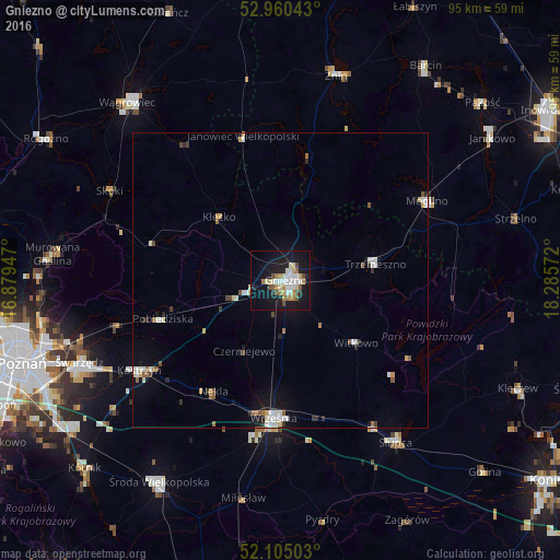
Analysis of Gniezno night lights 2016
Square area 10x10 km:
 5.69%
5.69%90-99
6.08%80-89
3.31%70-79
3.57%60-69
3.97%50-59
1.85%40-49
4.1%30-39
0.53%20-29
2.91%10-19
37.7%0-9
30.29%Square area 50x50 km:
0.52%90-99
0.75%80-89
0.34%70-79
0.34%60-69
0.38%50-59
0.36%40-49
0.39%30-39
0.26%20-29
0.44%10-19
2.53%0-9
93.68%Clear (daylight) street map image can be seen on geolist.org.
Map coordinates:
52° 57' 37.5" North, 16° 52' 46.1" East
52° 32' 5.3" North, 17° 34' 57.3" East
52° 6' 18.1" North, 18° 17' 8.6" East
Some cities around Gniezno sort by population:
• Września
23.3 km =14.5 mi,  182°
182°
• Mogilno
28.7 km =17.8 mi,  61°
61°
• Kostrzyn
28.4 km =17.6 mi,  237°
237°
• Pobiedziska
21 km =13 mi,  252°
252°
• Trzemeszno
16.5 km =10.3 mi,  79°
79°
• Witkowo
16.7 km =10.4 mi,  129°
129°
• Strzałkowo
29.9 km =18.6 mi,  147°
147°
• Janowiec Wielkopolski
25.4 km =15.8 mi,  345°
345°
3099112 (p: 70,269)
Sources (retrieved 2019-11-25):
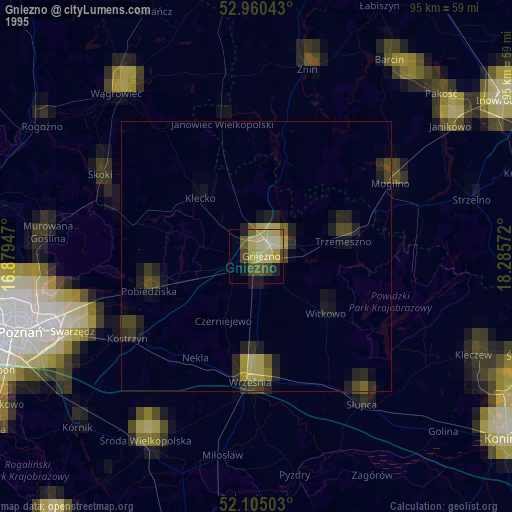
» NASA, Earths city lights 1995
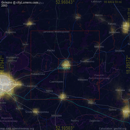
» NASA city lights 2003
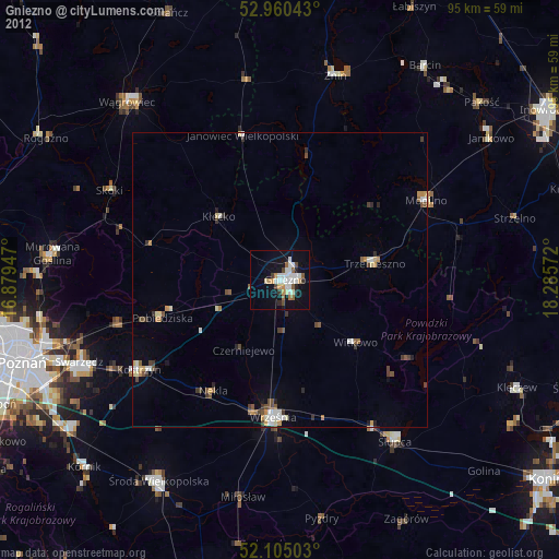
» Earth at Night: Flat Maps 2012, 2016