Witkowo night lights from space
Night Light of Witkowo (Greater Poland) from space (Poland) Src. Average luminocity for 10x10km area is 1.6818% and for 50x50km: 3.7574%.
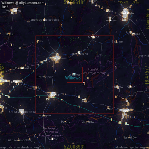
Analysis of Witkowo night lights 2016
Square area 10x10 km:
 0.13%
0.13%90-99
0.88%80-89
0%70-79
0%60-69
0%50-59
0%40-49
0.51%30-39
0.38%20-29
0.63%10-19
0%0-9
97.47%Square area 50x50 km:
0.55%90-99
0.74%80-89
0.37%70-79
0.42%60-69
0.46%50-59
0.39%40-49
0.37%30-39
0.3%20-29
0.36%10-19
2.92%0-9
93.12%Clear (daylight) street map image can be seen on geolist.org.
Map coordinates:
52° 51' 58.2" North, 17° 4' 10.3" East
52° 26' 22.7" North, 17° 46' 21.5" East
52° 0' 32.1" North, 18° 28' 32.8" East
Some cities around Witkowo sort by population:
• Gniezno
16.7 km =10.4 mi,  309°
309°
• Września
19 km =11.8 mi,  227°
227°
• Słupca
18.2 km =11.3 mi,  158°
158°
• Mogilno
27.3 km =17 mi,  27°
27°
• Pobiedziska
33.1 km =20.6 mi,  277°
277°
• Trzemeszno
14 km =8.7 mi,  14°
14°
• Strzelno
34.2 km =21.3 mi,  52°
52°
• Strzałkowo
15.1 km =9.4 mi,  168°
168°
3081826 (p: 7,825)
Sources (retrieved 2019-11-25):
» Earth at Night: Flat Maps 2012, 2016