Włochy night lights from space
Night Light of Włochy (Mazovia) from space (Poland) Src. Average luminocity for 10x10km area is 95.7923% and for 50x50km: 43.3921%.
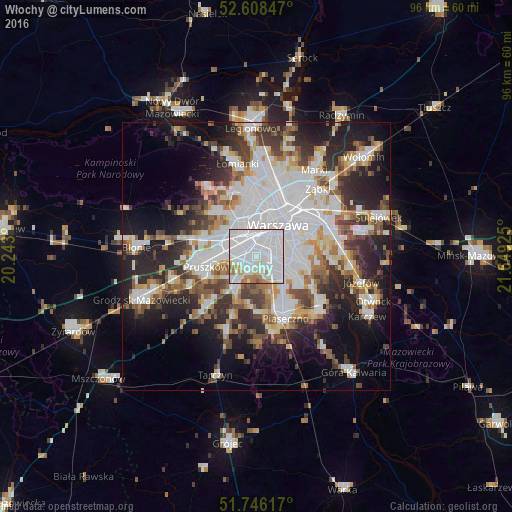
Analysis of Włochy night lights 2016
Square area 10x10 km:
100  61.24%
90-99 25.93%
80-89 2.65%
70-79 4.1%
60-69 5.29%
50-59 0.53%
40-49 0.26%
30-39 0%
20-29 0%
10-19 0%
0-9 0%
61.24%90-99
25.93%80-89
2.65%70-79
4.1%60-69
5.29%50-59
0.53%40-49
0.26%30-39
0%20-29
0%10-19
0%0-9
0%Square area 50x50 km:
100 14.08%
90-99 9.34%
80-89 3.54%
70-79 3.84%
60-69 4.47%
50-59 4.64%
40-49 4.82%
30-39 5.29%
20-29 9.71%
10-19 13.35%
0-9 26.93%
14.08%90-99
9.34%80-89
3.54%70-79
3.84%60-69
4.47%50-59
4.64%40-49
4.82%30-39
5.29%20-29
9.71%10-19
13.35%0-9
26.93%Clear (daylight) street map image can be seen on geolist.org.
Map coordinates:
52° 36' 30.5" North, 20° 14' 34.8" East
52° 10' 45.9" North, 20° 56' 46" East
51° 44' 46.2" North, 21° 38' 57.3" East
Some cities around Włochy sort by population:
• Warsaw
7.2 km =4.5 mi,  38°
38°
• Mokotów
6.2 km =3.9 mi,  75°
75°
• Wola
7.3 km =4.5 mi,  23°
23°
• Śródmieście
7.3 km =4.5 mi, 40°
• Ochota
5.3 km =3.3 mi,  30°
30°
• Ursus
4.6 km =2.9 mi,  292°
292°
• Piastów
7.3 km =4.5 mi,  274°
274°
• Raszyn
3.1 km =1.9 mi,  211°
211°
755475 (p: 36,276)
Sources (retrieved 2019-11-25):
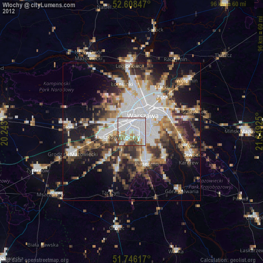
» Earth at Night: Flat Maps 2012, 2016