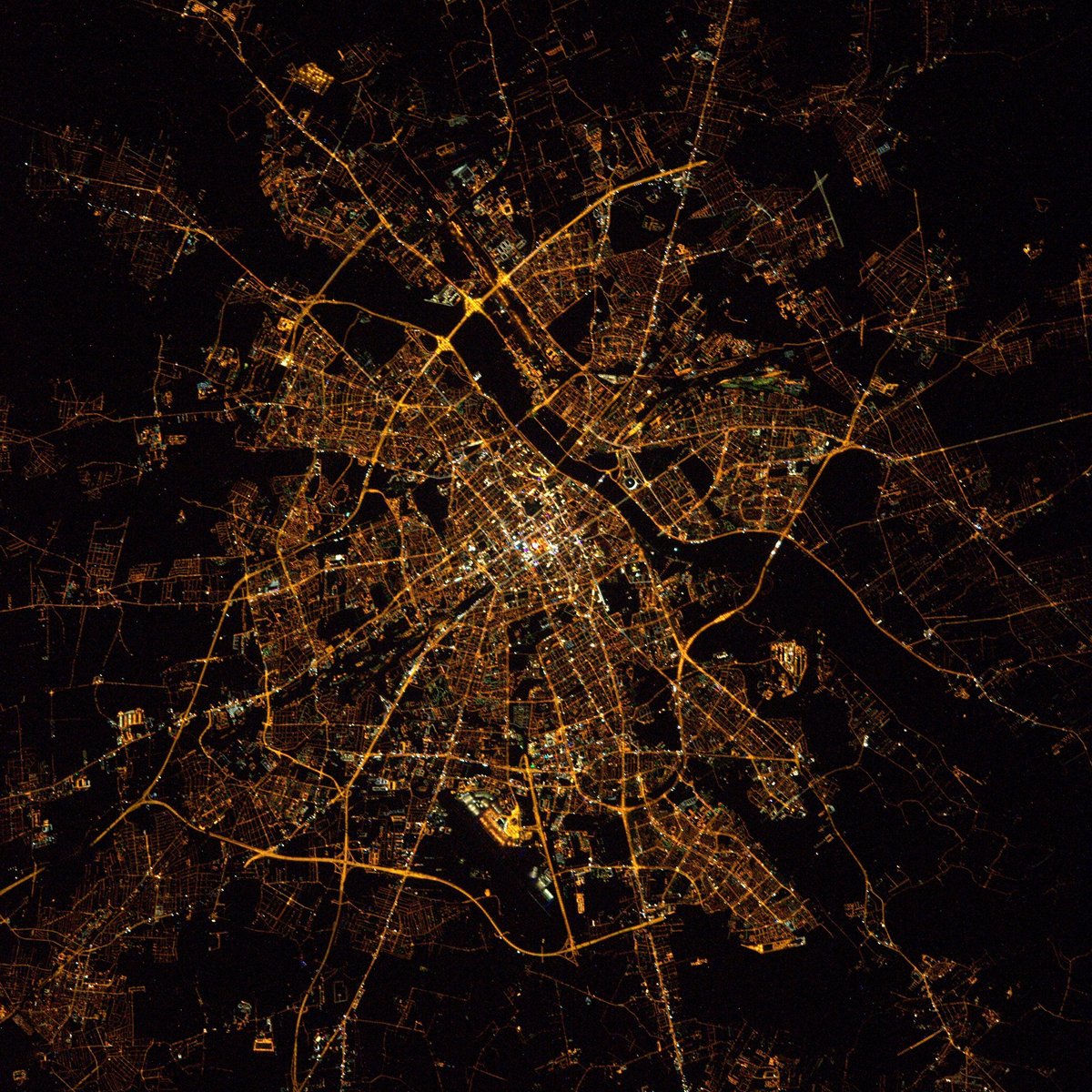
Warsaw night lights from space
Night Light of Warsaw (Mazovia) from space (Poland) Src. Average luminocity for 10x10km area is 99.7249% and for 50x50km: 43.6496%.
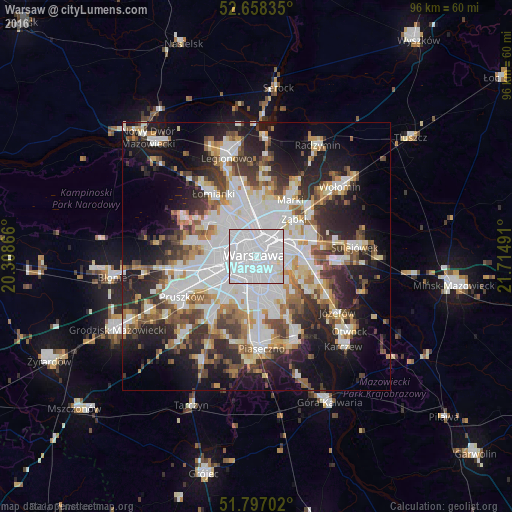
Analysis of Warsaw night lights 2016
Square area 10x10 km:
 93.39%
90-99
5.42%80-89
1.19%70-79
0%60-69
0%50-59
0%40-49
0%30-39
0%20-29
0%10-19
0%0-9
0%Square area 50x50 km:
13.84%90-99
9.16%80-89
3.7%70-79
3.99%60-69
4.63%50-59
4.67%40-49
4.82%30-39
5.32%20-29
9.63%10-19
14.93%0-9
25.31%Clear (daylight) street map image can be seen on geolist.org.
Map coordinates:
52° 39' 30.1" North, 20° 18' 31.2" East
52° 13' 47.2" North, 21° 0' 42.4" East
51° 47' 49.3" North, 21° 42' 53.7" East
Fantastic image of Warsaw from space taken by astronauts [src2], but I don't have information about it's orientation, scale or angle. If necessary, it was rotated manually, so North points approximately to upper direction. Click to zoom in:
Some cities around Warsaw sort by population:
• Mokotów
4.3 km =2.7 mi,  158°
158°
• Praga Południe
5.3 km =3.3 mi,  72°
72°
• Wola
1.9 km =1.2 mi,  306°
306°
• Śródmieście
0.3 km =0.2 mi,  104°
104°
• Praga Północ
3.2 km =2 mi,  29°
29°
• Ochota
2.1 km =1.3 mi,  241°
241°
• Żoliborz
4.7 km =2.9 mi,  338°
338°
• Włochy
7.2 km =4.5 mi,  218°
218°
756135 (p: 1,702,139)
Sources (retrieved 2019-11-25):
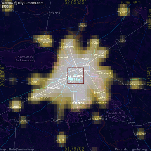
» NASA, Earths city lights 1995
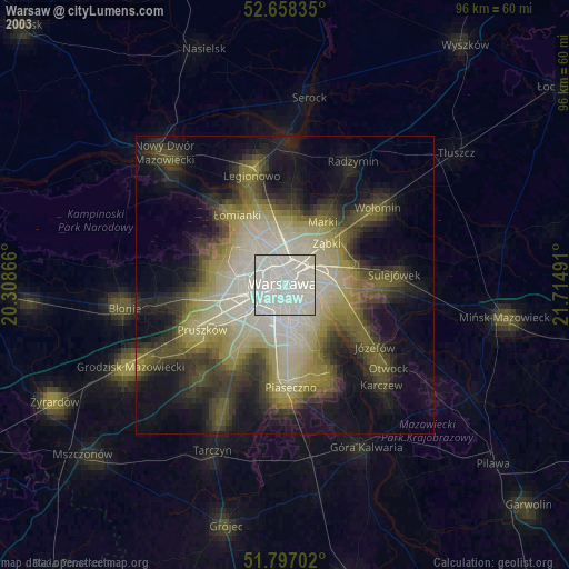
» NASA city lights 2003
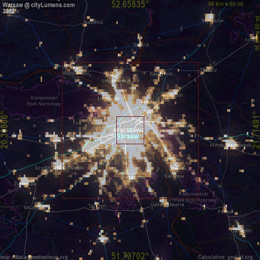
» Earth at Night: Flat Maps 2012, 2016
Src.2: Tim Kopra, Twitter/@astro_tim, 2016-04-03