Ochota night lights from space
Night Light of Ochota (Mazovia) from space (Poland) Src. Average luminocity for 10x10km area is 99.9378% and for 50x50km: 44.0462%.
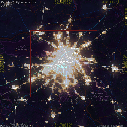
Analysis of Ochota night lights 2016
Square area 10x10 km:
 94.18%
90-99
5.82%80-89
0%70-79
0%60-69
0%50-59
0%40-49
0%30-39
0%20-29
0%10-19
0%0-9
0%Square area 50x50 km:
13.97%90-99
9.28%80-89
3.67%70-79
4.05%60-69
4.64%50-59
4.71%40-49
4.86%30-39
5.3%20-29
9.97%10-19
14.85%0-9
24.69%Clear (daylight) street map image can be seen on geolist.org.
Map coordinates:
52° 38' 58.6" North, 20° 16' 55.7" East
52° 13' 15.5" North, 20° 59' 6.9" East
51° 47' 17.2" North, 21° 41' 18.2" East
Some cities around Ochota sort by population:
• Warsaw
2.1 km =1.3 mi,  61°
61°
• Mokotów
4.6 km =2.9 mi,  132°
132°
• Wola
2.1 km =1.3 mi,  6°
6°
• Śródmieście
2.3 km =1.4 mi,  67°
67°
• Bemowo
6.4 km =4 mi,  305°
305°
• Praga Północ
5 km =3.1 mi,  42°
42°
• Żoliborz
5.3 km =3.3 mi,  0°
0°
• Włochy
5.3 km =3.3 mi,  210°
210°
763442 (p: 93,192)
Sources (retrieved 2019-11-25):
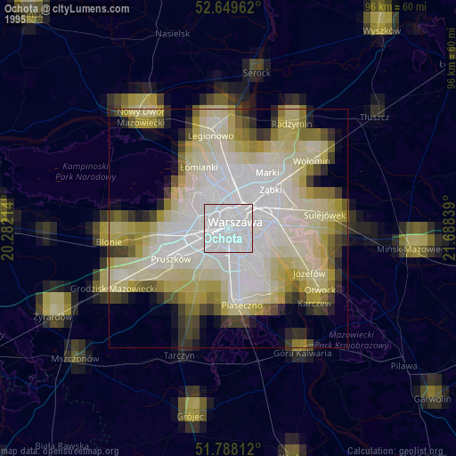
» NASA, Earths city lights 1995
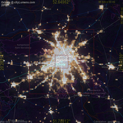
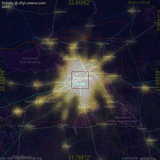
» NASA city lights 2003
» Earth at Night: Flat Maps 2012, 2016