Lubartów night lights from space
Night Light of Lubartów (Lublin) from space (Poland) Src. Average luminocity for 10x10km area is 11.8917% and for 50x50km: 6.0863%.
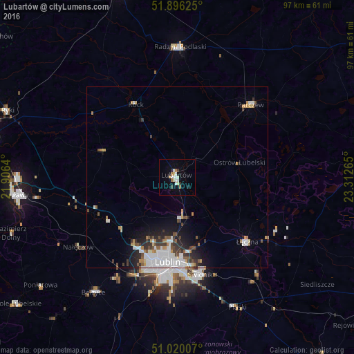
Analysis of Lubartów night lights 2016
Square area 10x10 km:
 2.01%
2.01%90-99
3.07%80-89
1.34%70-79
0.53%60-69
2.14%50-59
0%40-49
0.13%30-39
1.34%20-29
1.2%10-19
2.27%0-9
85.96%Square area 50x50 km:
1.89%90-99
1.05%80-89
0.34%70-79
0.51%60-69
0.56%50-59
0.66%40-49
0.62%30-39
0.84%20-29
1.24%10-19
2.42%0-9
89.87%Clear (daylight) street map image can be seen on geolist.org.
Map coordinates:
51° 53' 46.5" North, 21° 54' 23" East
51° 27' 36.9" North, 22° 36' 34.3" East
51° 1' 12.3" North, 23° 18' 45.5" East
Some cities around Lubartów sort by population:
• Lublin
23.6 km =14.7 mi,  187°
187°
• Puławy
44.6 km =27.7 mi,  263°
263°
• Świdnik
27.5 km =17.1 mi,  167°
167°
• Łęczna
25.9 km =16.1 mi,  133°
133°
• Radzyń Podlaski
35.9 km =22.3 mi,  0°
0°
• Parczew
28.4 km =17.6 mi,  45°
45°
• Bełżyce
39.2 km =24.4 mi,  215°
215°
• Ludwin
24.2 km =15 mi,  121°
121°
765927 (p: 22,839)
Sources (retrieved 2019-11-25):
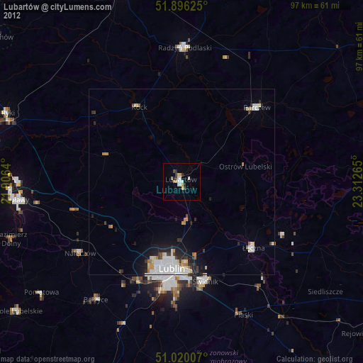
» Earth at Night: Flat Maps 2012, 2016