Sanok night lights from space
Night Light of Sanok (Subcarpathia) from space (Poland) Src. Average luminocity for 10x10km area is 13.6961% and for 50x50km: 0.9702%.
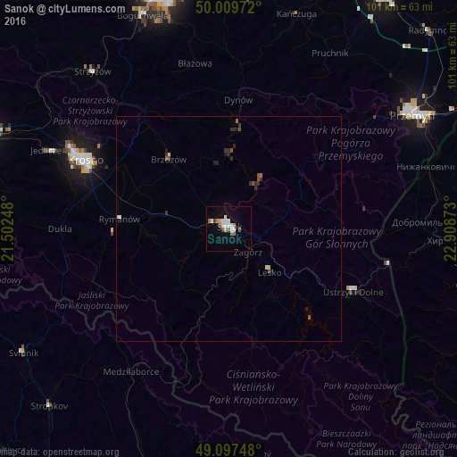
Analysis of Sanok night lights 2016
Square area 10x10 km:
 2.66%
2.66%90-99
3.5%80-89
0.98%70-79
1.12%60-69
1.26%50-59
1.68%40-49
1.12%30-39
0.56%20-29
0%10-19
4.06%0-9
83.05%Square area 50x50 km:
0.14%90-99
0.17%80-89
0.09%70-79
0.05%60-69
0.1%50-59
0.19%40-49
0.13%30-39
0.19%20-29
0.22%10-19
0.27%0-9
98.46%Clear (daylight) street map image can be seen on geolist.org.
Map coordinates:
50° 0' 35" North, 21° 30' 8.9" East
49° 33' 20.6" North, 22° 12' 20.2" East
49° 5' 50.9" North, 22° 54' 31.4" East
Some cities around Sanok sort by population:
• Krosno
34.6 km =21.5 mi,  295°
295°
• Ustrzyki Dolne
31.3 km =19.4 mi,  116°
116°
• Brzozów
20.5 km =12.7 mi,  319°
319°
• Medzilaborce, SK
38.5 km =23.9 mi,  214°
214°
• Korczyna
33.6 km =20.9 mi, 301°
• Dynów
28.9 km =18 mi,  4°
4°
• Lesko
13.1 km =8.1 mi,  136°
136°
• Zagórz
6.4 km =4 mi, 135°
759591 (p: 39,684)
Sources (retrieved 2019-11-25):
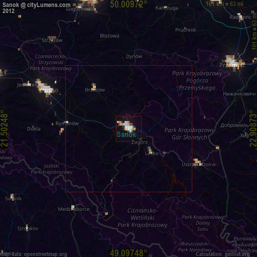
» Earth at Night: Flat Maps 2012, 2016