Ustrzyki Dolne night lights from space
Night Light of Ustrzyki Dolne (Subcarpathia) from space (Poland) Src. Average luminocity for 10x10km area is 2.9184% and for 50x50km: 0.3135%.
Analysis of Ustrzyki Dolne night lights 2016
Square area 10x10 km:
 0.53%
0.53%90-99
0.67%80-89
0.4%70-79
0.53%60-69
0%50-59
0%40-49
0.53%30-39
0%20-29
0.8%10-19
0.8%0-9
95.72%Square area 50x50 km:
0.04%90-99
0.04%80-89
0.05%70-79
0.02%60-69
0%50-59
0.05%40-49
0.08%30-39
0.11%20-29
0.09%10-19
0.04%0-9
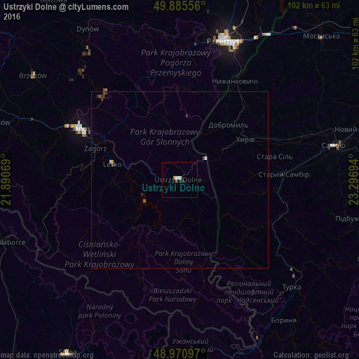
99.46%Clear (daylight) street map image can be seen on geolist.org.
Map coordinates:
49° 53' 8" North, 21° 53' 26.5" East
49° 25' 49.4" North, 22° 35' 37.7" East
48° 58' 15.5" North, 23° 17' 49" East
Some cities around Ustrzyki Dolne sort by population:
• Przemyśl
41.4 km =25.7 mi,  17°
17°
• Sanok
31.3 km =19.4 mi,  296°
296°
• Sambir, UA
44.7 km =27.8 mi,  77°
77°
• Turka, UA
44.1 km =27.4 mi,  134°
134°
• Dynów
50 km =31.1 mi,  328°
328°
• Lesko
19.5 km =12.1 mi,  283°
283°
• Staryy Sambir, UA
29.4 km =18.3 mi,  88°
88°
• Zagórz
25.4 km =15.8 mi,  291°
291°
756280 (p: 9,610)
Sources (retrieved 2019-11-25):
» Earth at Night: Flat Maps 2012, 2016