Lesko night lights from space
Night Light of Lesko (Subcarpathia) from space (Poland) Src. Average luminocity for 10x10km area is 1.486% and for 50x50km: 0.9086%.
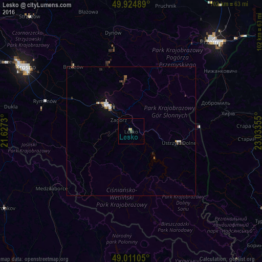
Analysis of Lesko night lights 2016
Square area 10x10 km:
 0%
0%90-99
0.28%80-89
0.84%70-79
0%60-69
0%50-59
0%40-49
0.56%30-39
0%20-29
0.56%10-19
0%0-9
97.76%Square area 50x50 km:
0.13%90-99
0.18%80-89
0.09%70-79
0.07%60-69
0.07%50-59
0.15%40-49
0.12%30-39
0.15%20-29
0.12%10-19
0.24%0-9
98.68%Clear (daylight) street map image can be seen on geolist.org.
Map coordinates:
49° 55' 29.6" North, 21° 37' 38.3" East
49° 28' 12.4" North, 22° 19' 49.5" East
49° 0' 39.8" North, 23° 2' 0.8" East
Some cities around Lesko sort by population:
• Przemyśl
47.1 km =29.3 mi,  41°
41°
• Sanok
13.1 km =8.1 mi,  316°
316°
• Ustrzyki Dolne
19.5 km =12.1 mi,  103°
103°
• Brzozów
33.6 km =20.9 mi, 318°
• Medzilaborce, SK
38.1 km =23.7 mi,  234°
234°
• Korczyna
46.4 km =28.8 mi,  306°
306°
• Dynów
39 km =24.2 mi,  349°
349°
• Zagórz
6.7 km =4.2 mi, 317°
766452 (p: 5,700)
Sources (retrieved 2019-11-25):
» Earth at Night: Flat Maps 2012, 2016