Krosno night lights from space
Night Light of Krosno (Subcarpathia) from space (Poland) Src. Average luminocity for 10x10km area is 30.7326% and for 50x50km: 2.4961%.
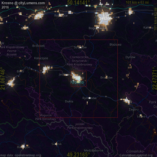
Analysis of Krosno night lights 2016
Square area 10x10 km:
 6.82%
6.82%90-99
6.82%80-89
3.61%70-79
2.54%60-69
1.34%50-59
3.61%40-49
4.14%30-39
2.01%20-29
3.74%10-19
35.03%0-9
30.35%Square area 50x50 km:
0.46%90-99
0.51%80-89
0.25%70-79
0.16%60-69
0.12%50-59
0.28%40-49
0.41%30-39
0.22%20-29
0.24%10-19
2.35%0-9
95.01%Clear (daylight) street map image can be seen on geolist.org.
Map coordinates:
50° 8' 29.1" North, 21° 4' 2.9" East
49° 41' 19.2" North, 21° 46' 14.1" East
49° 13' 53.9" North, 22° 28' 25.4" East
Some cities around Krosno sort by population:
• Sanok
34.6 km =21.5 mi,  115°
115°
• Jasło
22.3 km =13.9 mi,  286°
286°
• Strzyżów
20.3 km =12.6 mi,  4°
4°
• Brzozów
17.9 km =11.1 mi,  87°
87°
• Korczyna
4.1 km =2.5 mi,  43°
43°
• Dynów
36.1 km =22.4 mi,  67°
67°
• Boguchwała
35.2 km =21.9 mi,  20°
20°
• Jedlicze
9.3 km =5.8 mi, 290°
767470 (p: 47,784)
Sources (retrieved 2019-11-25):
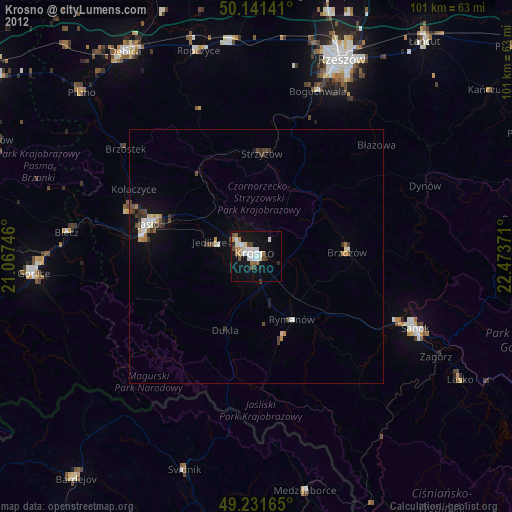
» Earth at Night: Flat Maps 2012, 2016