Rawicz night lights from space
Night Light of Rawicz (Greater Poland) from space (Poland) Src. Average luminocity for 10x10km area is 14.3971% and for 50x50km: 2.1255%.
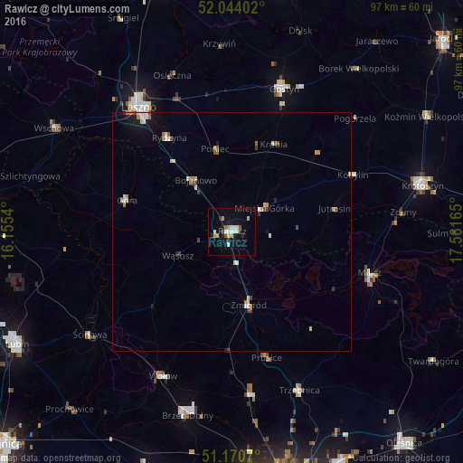
Analysis of Rawicz night lights 2016
Square area 10x10 km:
 2.67%
2.67%90-99
2.67%80-89
0.53%70-79
3.21%60-69
0.27%50-59
1.34%40-49
0.67%30-39
0.53%20-29
2.27%10-19
7.49%0-9
78.34%Square area 50x50 km:
0.24%90-99
0.39%80-89
0.23%70-79
0.28%60-69
0.24%50-59
0.22%40-49
0.26%30-39
0.18%20-29
0.18%10-19
1.12%0-9
96.66%Clear (daylight) street map image can be seen on geolist.org.
Map coordinates:
52° 2' 38.5" North, 16° 9' 19.4" East
51° 36' 34.1" North, 16° 51' 30.7" East
51° 10' 14.5" North, 17° 33' 41.9" East
Some cities around Rawicz sort by population:
• Leszno
32.3 km =20.1 mi,  322°
322°
• Gostyń
32.1 km =19.9 mi,  19°
19°
• Góra
23.2 km =14.4 mi,  285°
285°
• Wołów
33.8 km =21 mi,  206°
206°
• Trzebnica
36.1 km =22.4 mi,  156°
156°
• Milicz
29.9 km =18.6 mi,  107°
107°
• Oborniki Śląskie
34.5 km =21.4 mi,  173°
173°
• Żmigród
16.2 km =10.1 mi, 168°
3087307 (p: 21,380)
Sources (retrieved 2019-11-25):
» Earth at Night: Flat Maps 2012, 2016